
Clearwater and Sarasota Marine Weather
Marine Forecast
View allSMALL CRAFT ADVISORY IN EFFECT THROUGH THURSDAY EVENING
TODAY Northeast winds 20 to 25 knots, diminishing to 15 to 20 knots late. Seas 3 to 5 feet, occasionally to 6 feet. Wave Detail: Northeast 4 feet at 5 seconds and southeast 2 feet at 6 seconds. Bay and inland waters rough. A chance of showers. A slight chance of thunderstorms early this morning. A slight chance of thunderstorms this afternoon.TONIGHT East winds 20 to 25 knots, diminishing to 15 to 20 knots after midnight. Seas 2 to 4 feet, occasionally to 5 feet. Wave Detail: Northeast 3 feet at 5 seconds and south 1 foot at 6 seconds. Bay and inland waters rough. A chance of showers with a slight chance of thunderstorms in the evening, then a slight chance of showers after midnight.
THURSDAY East winds 15 to 20 knots, diminishing to 10 to 15 knots in the afternoon. Seas 2 to 4 feet, occasionally to 5 feet. Wave Detail: Northeast 3 feet at 5 seconds and southeast 2 feet at 6 seconds. Bay and inland waters choppy. A slight chance of showers.
THURSDAY NIGHT Northeast winds 10 to 15 knots with gusts up to 20 knots. Seas 2 to 3 feet. Wave Detail: Northeast 2 feet at 4 seconds and south 1 foot at 6 seconds. Bay and inland waters a moderate chop. A slight chance of showers and thunderstorms.
FRIDAY Northeast winds 10 to 15 knots. Seas around 2 feet. Wave Detail: North 2 feet at 4 seconds and south 1 foot at 5 seconds. Bay and inland waters a moderate chop. A slight chance of showers in the morning, then a chance of showers with a slight chance of thunderstorms in the afternoon.
FRIDAY NIGHT Northeast winds 10 to 15 knots. Seas around 2 feet. Wave Detail: North 2 feet at 4 seconds and southeast 1 foot at 5 seconds. Bay and inland waters a moderate chop. A slight chance of showers in the evening.
SATURDAY North winds 10 to 15 knots. Seas around 2 feet. Bay and inland waters a moderate chop. A slight chance of showers in the afternoon.
SATURDAY NIGHT Northeast winds around 10 knots. Seas around 2 feet. Bay and inland waters light chop.
SUNDAY Northeast winds 5 to 10 knots, becoming north in the afternoon. Seas 1 foot or less. Bay and inland waters light chop. Winds and seas higher in and near thunderstorms.
Clearwater and Sarasota Nautical Charts
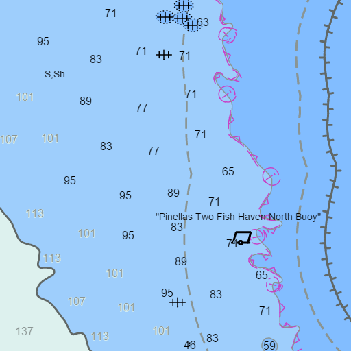
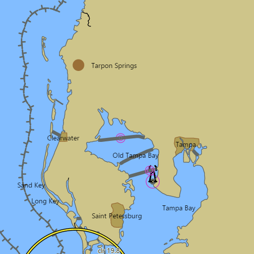
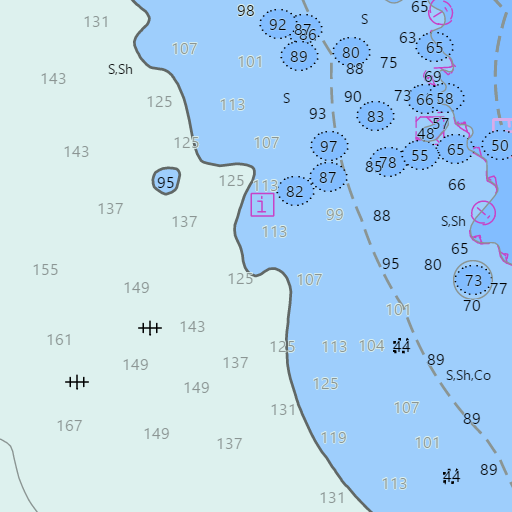
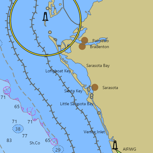
NOAA nautical charts with your GPS position and a wind map for Clearwater and Sarasota in the Wind and Tides app


Weather
View allOvernight
67°F
Scattered Rain Showers
24 mph ENE
Wednesday
74°F
Chance Rain Showers
20 to 23 mph ENE
Wednesday Night
68°F
Chance Showers And Thunderstorms
17 to 21 mph ENE
Thursday
77°F
Chance Rain Showers
14 to 17 mph ENE
Tides and Currents
View all| Time (EST) | Event | Height/Speed |
|---|---|---|
| Wed, Nov 18 12:44 AM | slack | slack |
| Wed, Nov 18 1:43 AM | low | 1.1 ft |
| Wed, Nov 18 3:06 AM | flood | 0.6 kts |
| Wed, Nov 18 6:17 AM | slack | slack |
| Wed, Nov 18 6:22 AM | high | 1.6 ft |
| Wed, Nov 18 10:20 AM | ebb | 0.7 kts |
| Wed, Nov 18 1:00 PM | slack | slack |
| Wed, Nov 18 2:08 PM | low | 0.4 ft |
| Wed, Nov 18 4:06 PM | flood | 1.1 kts |
| Wed, Nov 18 8:04 PM | slack | slack |
| Wed, Nov 18 8:18 PM | high | 1.6 ft |
| Wed, Nov 18 11:25 PM | ebb | 0.7 kts |
Marine weather for St. Joseph Sound, Clearwater Pass, Johns Pass, Longboat Pass, Sarasota Bay, Big Sarasota Pass, and Venice Inlet — Tarpon Springs, Honeymoon Island, Dunedin, Clearwater, Clearwater Beach, Indian Rocks Beach, Madeira Beach, Treasure Island, St. Pete Beach, Pass-a-Grille, Anna Maria Island, Holmes Beach, Longboat Key, Lido Key, Sarasota, Siesta Key, Nokomis, and Venice, Florida. The Clearwater Beach and St. Pete Beach marine forecast and Sarasota boating forecast; the Sarasota tide chart and Sarasota Bay, Longboat Key, and Venice Inlet tides; Clearwater Pass currents; Clearwater Beach water temperature; live wind at Clearwater Beach, Venice, and offshore; and conditions for sailing, boating, fishing, kayaking, and paddleboarding.