
Catalina and Channel Islands Marine Weather
Marine Forecast
View allGALE WARNING IN EFFECT THROUGH LATE TONIGHT
SMALL CRAFT ADVISORY IN EFFECT FROM LATE TONIGHT THROUGH LATE TUESDAY NIGHT
TONIGHT NW wind increasing to 25 to 35 kt. Seas 8 to 11 ft. Wave Detail: W 8 ft at 6 seconds, S 3 ft at 14 seconds and W 5 ft at 16 seconds. A chance of rain with a slight chance of tstms this evening.TUE NW wind 20 to 30 kt. Seas 8 to 11 ft. Wave Detail: NW 8 ft at 8 seconds, S 2 ft at 14 seconds and W 4 ft at 16 seconds.
TUE NIGHT NW wind 20 to 30 kt, becoming 10 to 15 kt after midnight. Seas 7 to 10 ft. Wave Detail: NW 7 ft at 8 seconds, S 2 ft at 14 seconds and W 4 ft at 15 seconds.
WED NW wind 5 to 10 kt, becoming SW in the afternoon. Seas 5 to 7 ft. Wave Detail: NW 4 ft at 8 seconds and W 4 ft at 13 seconds.
WED NIGHT SW wind 10 to 20 kt, becoming 20 to 30 kt after midnight. Seas 3 to 5 ft. Wave Detail: SW 4 ft at 6 seconds, W 4 ft at 12 seconds and S 2 ft at 13 seconds. A chance of rain in the evening, then rain after midnight.
THU W wind 25 to 30 kt. Seas 5 to 7 ft. Wave Detail: W 7 ft at 7 seconds and W 2 ft at 13 seconds. Rain. A chance of tstms in the morning, then a slight chance of tstms in the afternoon.
THU NIGHT W wind 25 to 30 kt. Seas 6 to 8 ft. Wave Detail: NW 8 ft at 7 seconds. Rain likely in the evening, then a chance of rain after midnight.
FRI NW wind 15 to 25 kt, becoming 10 to 20 kt in the afternoon. Seas 6 to 8 ft. Wave Detail: NW 7 ft at 8 seconds and W 5 ft at 13 seconds.
FRI NIGHT NW wind 10 to 15 kt, becoming N after midnight. Seas 4 to 6 ft. Wave Detail: NW 2 ft at 7 seconds and W 5 ft at 11 seconds.
SAT N wind 5 to 10 kt. Seas 3 to 5 ft. Wave Detail: W 4 ft at 11 seconds.
SAT NIGHT NW wind 5 to 10 kt. Seas 2 to 4 ft. Wave Detail: W 3 ft at 10 seconds. Winds and seas higher in and near tstms.
Catalina and Channel Islands Nautical Charts
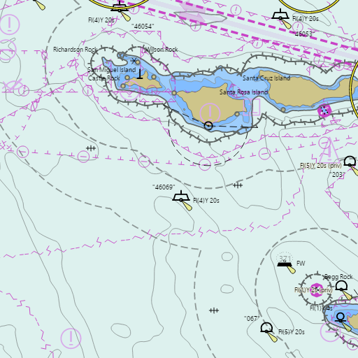
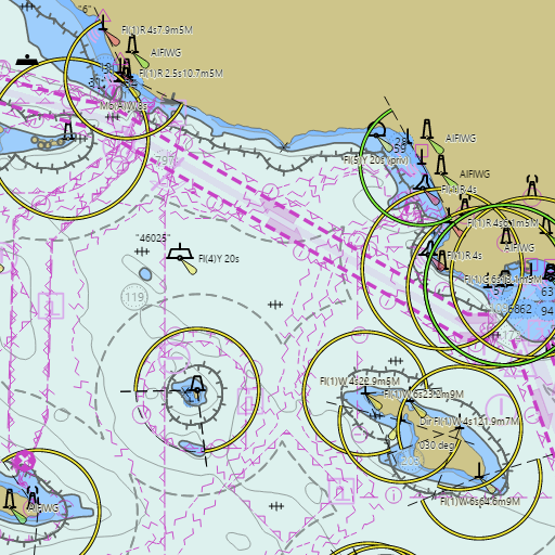
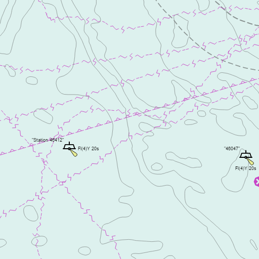
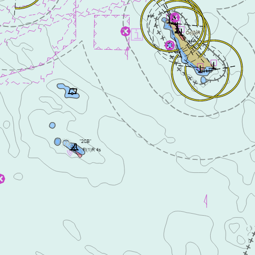
NOAA nautical charts with your GPS position and a wind map for Catalina and Channel Islands in the Wind and Tides app


Weather
View allToday
69°F
Light Rain Likely
10 to 20 mph WNW
Tonight
59°F
Chance Light Rain then Partly Cloudy
20 to 30 mph WNW
Tuesday
66°F
Sunny
15 to 25 mph WNW
Tuesday Night
59°F
Partly Cloudy
5 to 15 mph WNW
Tides
View allSince early October, California water levels have run about 1 ft above predicted tides (up to 1.5 ft in Southern California), an El Niño effect expected to last into winter. Add it to both highs and lows: deeper water at low tide, about 1 ft less bridge clearance at high tide. Tidal range and currents are not affected.
| Time (PST) | Event | Height |
|---|---|---|
| Mon, Nov 16 8:59 PM | low | 0.7 ft |
| Tue, Nov 17 4:47 AM | high | 3.9 ft |
| Tue, Nov 17 9:52 AM | low | 3.2 ft |
| Tue, Nov 17 2:22 PM | high | 3.8 ft |
| Tue, Nov 17 9:46 PM | low | 0.8 ft |
| Wed, Nov 18 5:02 AM | high | 4.3 ft |
| Wed, Nov 18 10:57 AM | low | 2.5 ft |
| Wed, Nov 18 3:55 PM | high | 3.7 ft |
| Wed, Nov 18 10:25 PM | low | 0.9 ft |
| Thu, Nov 19 5:22 AM | high | 4.8 ft |
| Thu, Nov 19 11:42 AM | low | 1.7 ft |
Marine weather for Catalina Island, Avalon, Two Harbors, Anacapa Island, Santa Cruz Island, Santa Rosa Island, San Nicolas Island, Santa Barbara Island, San Clemente Island, and the Channel Islands, California. Wind, tides, and conditions for sailing, fishing, boating, cruising, kayaking, paddleboarding, windsurfing, kiteboarding, wing foiling, scuba diving, and diving.