
Naples and Marco Island Marine Weather
Marine Forecast
View all
TONIGHT W winds around 5 kt. Seas less than 2 ft or less. Bay and inland waters smooth. A chance of showers with a slight chance of tstms this evening, then a slight chance of showers after midnight.
THU NW winds 5 to 10 kt. Seas less than 2 ft or less. Wave Detail: NW 1 foot at 2 seconds. Bay and inland waters light chop. A chance of showers until late afternoon.
THU NIGHT NW winds 5 to 10 kt, increasing to 10 to 15 kt after midnight. Seas less than 2 ft or less, then around 2 ft after midnight. Wave Detail: NW 1 foot at 3 seconds. Bay and inland waters light chop.
FRI NW winds 10 to 15 kt, becoming N 15 to 20 kt in the afternoon. Seas 2 to 4 ft, occasionally to 5 ft. Wave Detail: NW 4 ft at 5 seconds. Bay and inland waters a moderate chop.
FRI NIGHT N winds 15 to 20 kt. Seas 2 to 4 ft, occasionally to 5 ft. Wave Detail: NW 4 ft at 5 seconds. Bay and inland waters a moderate chop.
SAT N winds 15 to 20 kt. Seas 2 to 4 ft, occasionally to 5 ft. Wave Detail: N 3 ft at 5 seconds. Bay and inland waters a moderate chop.
SAT NIGHT NE winds 10 to 15 kt with gusts up to 20 kt. Seas 2 to 4 ft, occasionally to 5 ft. Bay and inland waters light chop.
SUN NE winds 10 to 15 kt with gusts up to 20 kt. Seas 2 to 3 ft. Bay and inland waters light chop.
SUN NIGHT E winds 15 to 20 kt with gusts up to 25 kt. Seas 2 to 4 ft, occasionally to 5 ft. Bay and inland waters a moderate chop.
MON E winds 15 to 20 kt with gusts up to 25 kt. Seas 2 to 4 ft, occasionally to 5 ft. Bay and inland waters a moderate chop.
MON NIGHT E winds 20 to 25 kt, diminishing to 15 to 20 kt after midnight. Seas 3 to 5 ft, occasionally to 6 ft. Bay and inland waters a moderate chop. Winds and seas higher in and near tstms.
THU NW winds 5 to 10 kt. Seas less than 2 ft or less. Wave Detail: NW 1 foot at 2 seconds. Bay and inland waters light chop. A chance of showers until late afternoon.
THU NIGHT NW winds 5 to 10 kt, increasing to 10 to 15 kt after midnight. Seas less than 2 ft or less, then around 2 ft after midnight. Wave Detail: NW 1 foot at 3 seconds. Bay and inland waters light chop.
FRI NW winds 10 to 15 kt, becoming N 15 to 20 kt in the afternoon. Seas 2 to 4 ft, occasionally to 5 ft. Wave Detail: NW 4 ft at 5 seconds. Bay and inland waters a moderate chop.
FRI NIGHT N winds 15 to 20 kt. Seas 2 to 4 ft, occasionally to 5 ft. Wave Detail: NW 4 ft at 5 seconds. Bay and inland waters a moderate chop.
SAT N winds 15 to 20 kt. Seas 2 to 4 ft, occasionally to 5 ft. Wave Detail: N 3 ft at 5 seconds. Bay and inland waters a moderate chop.
SAT NIGHT NE winds 10 to 15 kt with gusts up to 20 kt. Seas 2 to 4 ft, occasionally to 5 ft. Bay and inland waters light chop.
SUN NE winds 10 to 15 kt with gusts up to 20 kt. Seas 2 to 3 ft. Bay and inland waters light chop.
SUN NIGHT E winds 15 to 20 kt with gusts up to 25 kt. Seas 2 to 4 ft, occasionally to 5 ft. Bay and inland waters a moderate chop.
MON E winds 15 to 20 kt with gusts up to 25 kt. Seas 2 to 4 ft, occasionally to 5 ft. Bay and inland waters a moderate chop.
MON NIGHT E winds 20 to 25 kt, diminishing to 15 to 20 kt after midnight. Seas 3 to 5 ft, occasionally to 6 ft. Bay and inland waters a moderate chop. Winds and seas higher in and near tstms.
Naples and Marco Island Nautical Charts
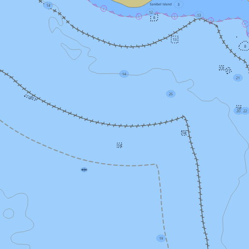
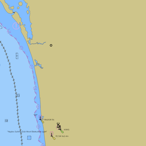
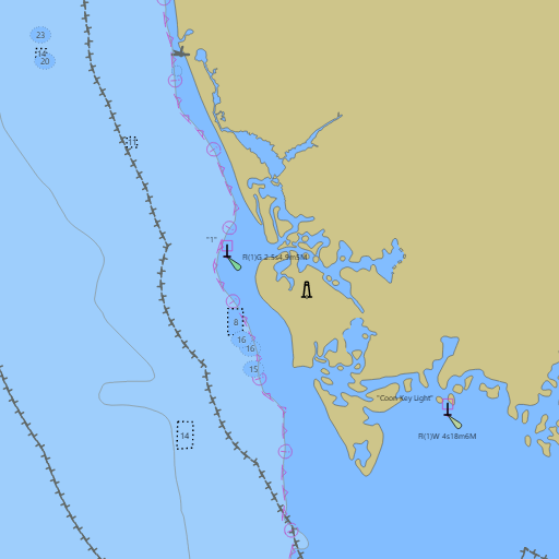
NOAA nautical charts with your GPS position and a wind map for Naples and Marco Island in the Wind and Tides app


Weather
View allTonight
75°F
Chance Showers And Thunderstorms
6 mph W
Thursday
79°F
Chance Rain Showers
5 to 13 mph NW
Thursday Night
73°F
Slight Chance Rain Showers
7 to 12 mph NW
Friday
76°F
Slight Chance Rain Showers
12 to 18 mph NW
Tides
View all| Time (EST) | Event | Height |
|---|---|---|
| Wed, Nov 11 7:52 PM | low | 1.7 ft |
| Thu, Nov 12 12:30 AM | high | 2.9 ft |
| Thu, Nov 12 8:50 AM | low | -0.1 ft |
| Thu, Nov 12 3:30 PM | high | 2.3 ft |
| Thu, Nov 12 8:25 PM | low | 1.7 ft |
| Fri, Nov 13 12:57 AM | high | 2.8 ft |
| Fri, Nov 13 9:30 AM | low | 0.0 ft |
| Fri, Nov 13 4:17 PM | high | 2.3 ft |
| Fri, Nov 13 9:00 PM | low | 1.7 ft |
| Sat, Nov 14 1:34 AM | high | 2.7 ft |
| Sat, Nov 14 10:13 AM | low | 0.2 ft |
| Sat, Nov 14 5:08 PM | high | 2.3 ft |
Marine weather for Wiggins Pass, Doctors Pass, Naples Bay, Gordon Pass, Rookery Bay, Big Marco Pass, Caxambas Pass, Cape Romano, and the Ten Thousand Islands — Vanderbilt Beach, Naples, the Naples City Dock, Keewaydin Island, Isles of Capri, Marco Island, Goodland, Everglades City, and Chokoloskee, Florida. The Southwest Florida marine forecast from Chokoloskee to Bonita Beach; the Naples marine forecast and boating forecast; the Naples tide chart; Marco Island, Big Marco River, and Wiggins Pass tides; and conditions for sailing with the Gulf Coast Sailing Club of Naples and at Naples Sailing & Yacht Club, Naples Yacht Club, and Marco Island Yacht Club, boating, fishing, kayaking, and paddleboarding.