
Savannah and Tybee Island Marine Weather
Marine Forecast
View all
TONIGHT N winds 10 to 15 kt. Seas 1 to 2 ft. Wave Detail: NE 1 foot at 4 seconds.
SUN N winds 10 to 15 kt. Seas 2 ft. Wave Detail: NE 2 ft at 4 seconds.
SUN NIGHT NE winds 10 to 15 kt. Seas 2 to 3 ft. Wave Detail: NE 3 ft at 4 seconds and E 1 foot at 9 seconds.
MON NE winds 15 to 20 kt. Seas 3 to 4 ft. Wave Detail: NE 4 ft at 5 seconds and E 1 foot at 9 seconds.
MON NIGHT NE winds 20 kt with gusts to 25 kt. Seas 3 to 4 ft, building to 4 to 5 ft after midnight. Wave Detail: NE 4 ft at 5 seconds and E 1 foot at 8 seconds, becoming NE 5 ft at 5 seconds and E 1 foot at 8 seconds.
TUE NE winds 20 to 25 kt with gusts to 30 kt. Seas 4 to 5 ft, building to 4 to 6 ft in the afternoon. Wave Detail: NE 5 ft at 5 seconds, becoming NE 6 ft at 6 seconds.
TUE NIGHT NE winds 20 to 25 kt with gusts to 30 kt. Seas 4 to 6 ft. A slight chance of showers after midnight.
WED NE winds 20 to 25 kt. Seas 4 to 6 ft. A slight chance of showers.
WED NIGHT NE winds 20 to 25 kt. Seas 5 to 7 ft.
THU NE winds 20 kt. Seas 4 to 6 ft.
THU NIGHT NE winds 15 to 20 kt. Seas 4 to 6 ft.
SUN N winds 10 to 15 kt. Seas 2 ft. Wave Detail: NE 2 ft at 4 seconds.
SUN NIGHT NE winds 10 to 15 kt. Seas 2 to 3 ft. Wave Detail: NE 3 ft at 4 seconds and E 1 foot at 9 seconds.
MON NE winds 15 to 20 kt. Seas 3 to 4 ft. Wave Detail: NE 4 ft at 5 seconds and E 1 foot at 9 seconds.
MON NIGHT NE winds 20 kt with gusts to 25 kt. Seas 3 to 4 ft, building to 4 to 5 ft after midnight. Wave Detail: NE 4 ft at 5 seconds and E 1 foot at 8 seconds, becoming NE 5 ft at 5 seconds and E 1 foot at 8 seconds.
TUE NE winds 20 to 25 kt with gusts to 30 kt. Seas 4 to 5 ft, building to 4 to 6 ft in the afternoon. Wave Detail: NE 5 ft at 5 seconds, becoming NE 6 ft at 6 seconds.
TUE NIGHT NE winds 20 to 25 kt with gusts to 30 kt. Seas 4 to 6 ft. A slight chance of showers after midnight.
WED NE winds 20 to 25 kt. Seas 4 to 6 ft. A slight chance of showers.
WED NIGHT NE winds 20 to 25 kt. Seas 5 to 7 ft.
THU NE winds 20 kt. Seas 4 to 6 ft.
THU NIGHT NE winds 15 to 20 kt. Seas 4 to 6 ft.
Savannah and Tybee Island Nautical Charts
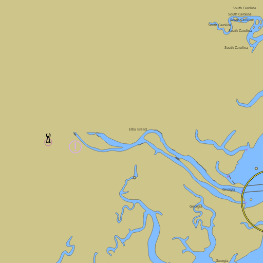
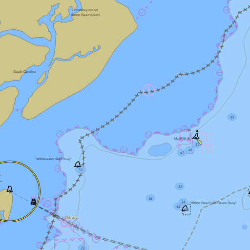
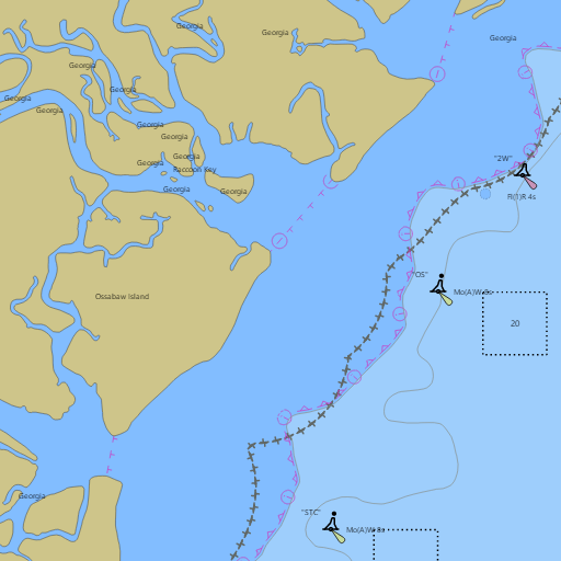
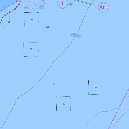
NOAA nautical charts with your GPS position and a wind map for Savannah and Tybee Island in the Wind and Tides app


Weather
View allTonight
44°F
Mostly Clear
5 mph N
Sunday
61°F
Mostly Sunny
5 to 10 mph NE
Sunday Night
48°F
Mostly Clear
5 to 9 mph NE
Monday
63°F
Partly Sunny
13 mph NE
Tides and Currents
View all| Time (EST) | Event | Height/Speed |
|---|---|---|
| Sat, Nov 14 11:22 PM | high | 6.2 ft |
| Sat, Nov 14 11:45 PM | slack | slack |
| Sun, Nov 15 2:37 AM | ebb | 1.6 kts |
| Sun, Nov 15 5:21 AM | low | 1.4 ft |
| Sun, Nov 15 6:04 AM | slack | slack |
| Sun, Nov 15 8:33 AM | flood | 1.0 kts |
| Sun, Nov 15 11:50 AM | high | 6.9 ft |
| Sun, Nov 15 12:00 PM | slack | slack |
| Sun, Nov 15 3:12 PM | ebb | 1.9 kts |
| Sun, Nov 15 6:12 PM | low | 1.6 ft |
| Sun, Nov 15 7:02 PM | slack | slack |
| Sun, Nov 15 9:17 PM | flood | 0.9 kts |
Marine weather for Wassaw Sound, the Wilmington River, the Savannah River, the Bull River, Lazaretto Creek, the Skidaway River, Skidaway Narrows, the Vernon River, Ossabaw Sound, St. Catherines Sound, and the Intracoastal Waterway — Savannah, Thunderbolt, Whitemarsh Island, Wilmington Island, Fort Pulaski, Tybee Island, Little Tybee Island, Isle of Hope, Skidaway Island, Landings Harbor Marina, Coffee Bluff, Burnside Island, Fort McAllister, Kilkenny Marina, and Richmond Hill, Georgia. The Savannah marine weather forecast; Tybee tides and Tybee water temperature from Fort Pulaski at the Savannah River entrance; wind and waves at the Grays Reef buoy; and conditions for sailing, boating, fishing charters, pier fishing, kayaking, and paddleboarding.