
Catalina and Channel Islands Marine Weather
Marine Forecast
View all
TODAY Light winds, becoming W 5 to 10 kt this afternoon. Seas 6 to 8 ft. Wave Detail: W 6 ft at 15 seconds and S 2 ft at 17 seconds.
TONIGHT NW wind 5 to 10 kt. Seas 5 to 7 ft. Wave Detail: S 2 ft at 15 seconds and W 5 ft at 16 seconds.
MON NW wind 5 to 10 kt, becoming 15 to 25 kt in the afternoon. Seas 5 to 7 ft. Wave Detail: NW 3 ft at 5 seconds, W 5 ft at 15 seconds and S 2 ft at 15 seconds. A chance of rain.
MON NIGHT NW wind 20 to 30 kt. Seas 6 to 9 ft. Wave Detail: NW 7 ft at 6 seconds, S 2 ft at 14 seconds and W 5 ft at 16 seconds. A chance of rain.
TUE NW wind 15 to 25 kt, becoming 20 to 30 kt in the afternoon. Seas 7 to 10 ft. Wave Detail: NW 7 ft at 8 seconds, S 2 ft at 14 seconds and W 4 ft at 17 seconds.
TUE NIGHT NW wind 20 to 30 kt, becoming 10 to 20 kt after midnight. Seas 6 to 9 ft. Wave Detail: NW 6 ft at 8 seconds and W 4 ft at 16 seconds.
WED NW wind 5 to 10 kt. Seas 5 to 7 ft. Wave Detail: NW 5 ft at 8 seconds and W 5 ft at 14 seconds.
WED NIGHT W wind 10 to 15 kt, becoming SW 20 to 30 kt after midnight. Seas 3 to 5 ft. Wave Detail: SW 4 ft at 6 seconds and W 4 ft at 13 seconds. A chance of rain.
THU SW wind 20 to 30 kt, becoming 25 to 30 kt in the afternoon. Seas 6 to 8 ft. Wave Detail: SW 7 ft at 7 seconds and W 3 ft at 13 seconds. Rain with a slight chance of tstms.
THU NIGHT W wind 20 to 30 kt. Seas 6 to 9 ft. Wave Detail: W 6 ft at 7 seconds and W 7 ft at 14 seconds. Rain with a slight chance of tstms in the evening, then rain likely after midnight. Winds and seas higher in and near tstms.
TONIGHT NW wind 5 to 10 kt. Seas 5 to 7 ft. Wave Detail: S 2 ft at 15 seconds and W 5 ft at 16 seconds.
MON NW wind 5 to 10 kt, becoming 15 to 25 kt in the afternoon. Seas 5 to 7 ft. Wave Detail: NW 3 ft at 5 seconds, W 5 ft at 15 seconds and S 2 ft at 15 seconds. A chance of rain.
MON NIGHT NW wind 20 to 30 kt. Seas 6 to 9 ft. Wave Detail: NW 7 ft at 6 seconds, S 2 ft at 14 seconds and W 5 ft at 16 seconds. A chance of rain.
TUE NW wind 15 to 25 kt, becoming 20 to 30 kt in the afternoon. Seas 7 to 10 ft. Wave Detail: NW 7 ft at 8 seconds, S 2 ft at 14 seconds and W 4 ft at 17 seconds.
TUE NIGHT NW wind 20 to 30 kt, becoming 10 to 20 kt after midnight. Seas 6 to 9 ft. Wave Detail: NW 6 ft at 8 seconds and W 4 ft at 16 seconds.
WED NW wind 5 to 10 kt. Seas 5 to 7 ft. Wave Detail: NW 5 ft at 8 seconds and W 5 ft at 14 seconds.
WED NIGHT W wind 10 to 15 kt, becoming SW 20 to 30 kt after midnight. Seas 3 to 5 ft. Wave Detail: SW 4 ft at 6 seconds and W 4 ft at 13 seconds. A chance of rain.
THU SW wind 20 to 30 kt, becoming 25 to 30 kt in the afternoon. Seas 6 to 8 ft. Wave Detail: SW 7 ft at 7 seconds and W 3 ft at 13 seconds. Rain with a slight chance of tstms.
THU NIGHT W wind 20 to 30 kt. Seas 6 to 9 ft. Wave Detail: W 6 ft at 7 seconds and W 7 ft at 14 seconds. Rain with a slight chance of tstms in the evening, then rain likely after midnight. Winds and seas higher in and near tstms.
Catalina and Channel Islands Nautical Charts
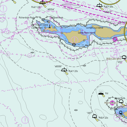
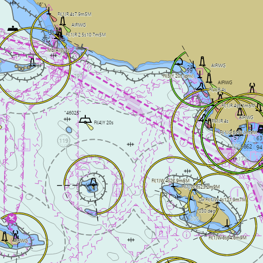
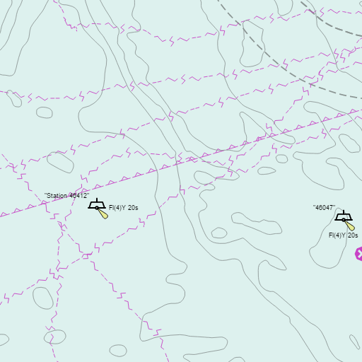
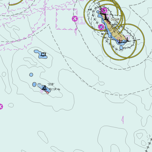
NOAA nautical charts with your GPS position and a wind map for Catalina and Channel Islands in the Wind and Tides app


Weather
View allOvernight
61°F
Partly Cloudy
5 mph W
Sunday
70°F
Mostly Cloudy
5 mph W
Sunday Night
62°F
Chance Light Rain
5 to 10 mph WNW
Monday
69°F
Chance Light Rain
10 to 20 mph WNW
Tides
View all| Time (PST) | Event | Height |
|---|---|---|
| Sun, Nov 15 11:25 AM | high | 4.5 ft |
| Sun, Nov 15 8:02 PM | low | 0.6 ft |
Marine weather for Catalina Island, Avalon, Two Harbors, Anacapa Island, Santa Cruz Island, Santa Rosa Island, San Nicolas Island, Santa Barbara Island, San Clemente Island, and the Channel Islands, California. Wind, tides, and conditions for sailing, fishing, boating, cruising, kayaking, paddleboarding, windsurfing, kiteboarding, wing foiling, scuba diving, and diving.