
Catalina and Channel Islands Marine Weather
Marine Forecast
View allSMALL CRAFT ADVISORY IN EFFECT UNTIL 9 AM PST THIS MORNING
TODAY W wind 10 to 20 kt with gusts to 25 kt, becoming 10 to 15 kt. Seas 6 to 9 ft. Wave Detail: NW 4 ft at 6 seconds, W 7 ft at 14 seconds and S 2 ft at 15 seconds. Isolated showers this morning.TONIGHT W wind 5 to 10 kt, becoming S after midnight. Seas 6 to 9 ft. Wave Detail: NW 2 ft at 6 seconds, W 7 ft at 14 seconds and S 3 ft at 17 seconds.
SUN E wind 5 to 10 kt, becoming SW in the afternoon. Seas 6 to 8 ft. Wave Detail: W 6 ft at 16 seconds and S 3 ft at 17 seconds.
SUN NIGHT W wind 5 to 10 kt. Seas 5 to 7 ft. Wave Detail: W 2 ft at 5 seconds, S 2 ft at 15 seconds and W 5 ft at 16 seconds. A slight chance of rain after midnight.
MON NW wind 5 to 10 kt, becoming W 15 to 20 kt with gusts to 25 kt in the afternoon. Seas 4 to 6 ft, building to 6 to 8 ft. Wave Detail: NW 4 ft at 5 seconds, W 5 ft at 14 seconds and S 3 ft at 15 seconds. A slight chance of rain in the morning, then a chance of rain in the afternoon.
MON NIGHT NW wind 15 to 25 kt with gusts to 30 kt. Strongest western portion. Seas 6 to 8 ft, building to 7 to 10 ft. Wave Detail: NW 8 ft at 7 seconds, S 2 ft at 14 seconds and W 4 ft at 17 seconds. A chance of showers in the evening, then a slight chance of showers after midnight.
TUE NW wind 15 to 25 kt. Gusts to 30 kt in the afternoon. Strongest western portion. Seas 8 to 11 ft. Wave Detail: NW 8 ft at 8 seconds, S 2 ft at 14 seconds and W 4 ft at 16 seconds.
TUE NIGHT NW wind 15 to 25 kt. Gusts to 30 kt in the evening. Strongest western portion. Seas 7 to 10 ft. Wave Detail: NW 8 ft at 8 seconds, S 2 ft at 14 seconds and W 3 ft at 16 seconds.
WED NW wind 10 to 15 kt. Seas 6 to 8 ft. Wave Detail: NW 6 ft at 8 seconds and W 4 ft at 13 seconds.
WED NIGHT W wind 15 to 25 kt with gusts to 30 kt. Strongest western portion. Seas 4 to 6 ft. Wave Detail: W 5 ft at 8 seconds and W 4 ft at 13 seconds. A chance of rain in the evening, then rain likely after midnight.
Catalina and Channel Islands Nautical Charts
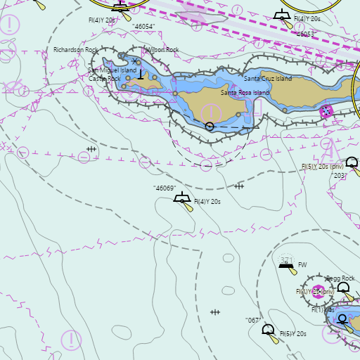
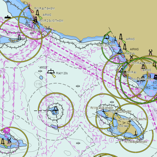
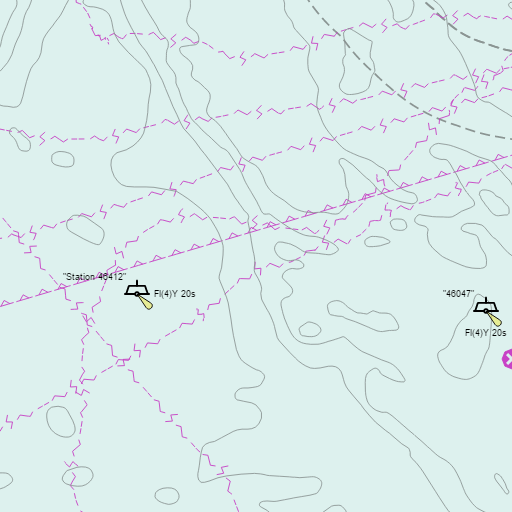
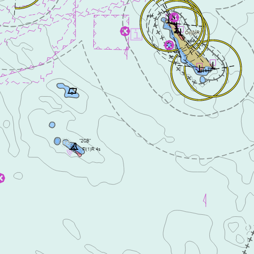
NOAA nautical charts with your GPS position and a wind map for Catalina and Channel Islands in the Wind and Tides app


Weather
View allOvernight
62°F
Chance Rain Showers
20 mph W
Saturday
70°F
Isolated Rain Showers then Sunny
10 to 20 mph W
Saturday Night
61°F
Mostly Clear
5 to 10 mph WSW
Sunday
70°F
Mostly Sunny
5 to 10 mph WSW
Tides
View all| Time (PST) | Event | Height |
|---|---|---|
| Sat, Nov 14 10:37 AM | high | 4.9 ft |
| Sat, Nov 14 7:02 PM | low | 0.5 ft |
Marine weather for Catalina Island, Avalon, Two Harbors, Anacapa Island, Santa Cruz Island, Santa Rosa Island, San Nicolas Island, Santa Barbara Island, San Clemente Island, and the Channel Islands, California. Wind, tides, and conditions for sailing, fishing, boating, cruising, kayaking, paddleboarding, windsurfing, kiteboarding, wing foiling, scuba diving, and diving.