
Rockland and Penobscot Bay Marine Weather
Marine Forecast
View all
TODAY E winds 10 to 15 kt. Seas 2 to 3 ft. Wave Detail: SE 2 ft at 4 seconds. Rain. Areas of fog. Vsby 1 to 3 NM.
TONIGHT NE winds 10 to 15 kt with gusts up to 20 kt, becoming N 5 to 10 kt after midnight. Seas 2 to 3 ft. Wave Detail: S 2 ft at 5 seconds. Rain. Areas of fog in the evening. Patchy fog after midnight. Vsby 1 to 3 NM.
SUN NW winds 10 to 15 kt with gusts up to 25 kt. Seas 2 to 3 ft. Wave Detail: NW 2 ft at 3 seconds. Rain, mainly in the morning.
SUN NIGHT W winds 5 to 10 kt. Seas 2 to 3 ft. Wave Detail: S 2 ft at 7 seconds.
MON W winds 5 to 10 kt. Seas around 2 ft. Wave Detail: S 2 ft at 9 seconds.
MON NIGHT NW winds 5 to 10 kt with gusts up to 20 kt. Seas 2 to 3 ft. Wave Detail: W 2 ft at 3 seconds.
TUE W winds 5 to 10 kt. Seas around 2 ft.
TUE NIGHT W winds 5 to 10 kt. Seas around 2 ft.
WED NW winds 5 to 10 kt. Seas 2 to 3 ft.
WED NIGHT NW winds 5 to 10 kt. Seas around 2 ft.
TONIGHT NE winds 10 to 15 kt with gusts up to 20 kt, becoming N 5 to 10 kt after midnight. Seas 2 to 3 ft. Wave Detail: S 2 ft at 5 seconds. Rain. Areas of fog in the evening. Patchy fog after midnight. Vsby 1 to 3 NM.
SUN NW winds 10 to 15 kt with gusts up to 25 kt. Seas 2 to 3 ft. Wave Detail: NW 2 ft at 3 seconds. Rain, mainly in the morning.
SUN NIGHT W winds 5 to 10 kt. Seas 2 to 3 ft. Wave Detail: S 2 ft at 7 seconds.
MON W winds 5 to 10 kt. Seas around 2 ft. Wave Detail: S 2 ft at 9 seconds.
MON NIGHT NW winds 5 to 10 kt with gusts up to 20 kt. Seas 2 to 3 ft. Wave Detail: W 2 ft at 3 seconds.
TUE W winds 5 to 10 kt. Seas around 2 ft.
TUE NIGHT W winds 5 to 10 kt. Seas around 2 ft.
WED NW winds 5 to 10 kt. Seas 2 to 3 ft.
WED NIGHT NW winds 5 to 10 kt. Seas around 2 ft.
Rockland and Penobscot Bay Nautical Charts
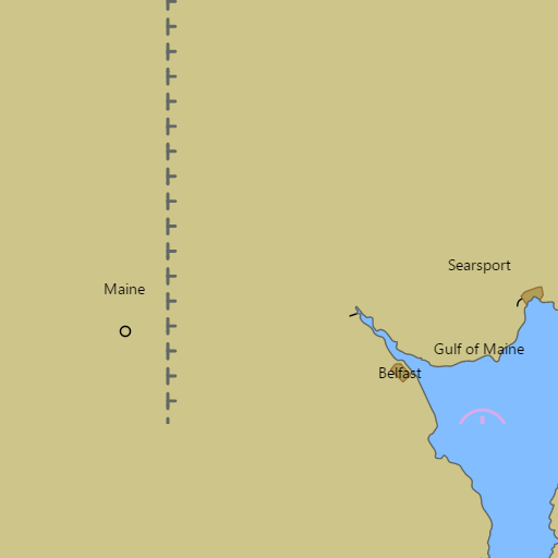
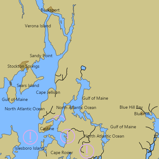
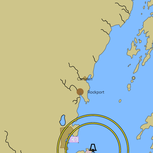
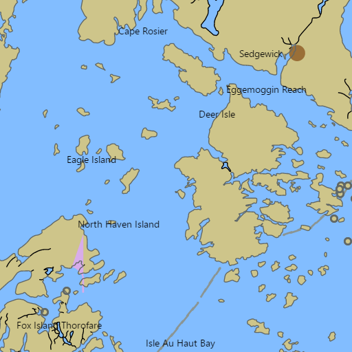
NOAA nautical charts with your GPS position and a wind map for Rockland and Penobscot Bay in the Wind and Tides app


Weather
View allOvernight
51°F
Light Rain
10 to 15 mph NE
Saturday
54°F
Light Rain
15 mph NE
Saturday Night
48°F
Areas Of Fog
10 to 15 mph N
Sunday
51°F
Light Rain
10 to 20 mph NW
Tides and Currents
View all| Time (EST) | Event | Height/Speed |
|---|---|---|
| Sat, Nov 7 1:05 AM | slack | slack |
| Sat, Nov 7 2:58 AM | low | 0.2 ft |
| Sat, Nov 7 4:08 AM | flood | 0.6 kts |
| Sat, Nov 7 7:42 AM | slack | slack |
| Sat, Nov 7 9:16 AM | high | 11.1 ft |
| Sat, Nov 7 10:49 AM | ebb | 0.7 kts |
| Sat, Nov 7 1:38 PM | slack | slack |
| Sat, Nov 7 3:31 PM | low | -0.3 ft |
| Sat, Nov 7 4:44 PM | flood | 0.6 kts |
| Sat, Nov 7 8:19 PM | slack | slack |
| Sat, Nov 7 9:45 PM | high | 10.2 ft |
| Sat, Nov 7 11:11 PM | ebb | 0.6 kts |
Marine weather for Penobscot Bay (Pen Bay), West Penobscot Bay, East Penobscot Bay, Rockland Harbor, the Rockland Breakwater, Camden Harbor, Belfast Bay, the Fox Islands Thorofare, Pulpit Harbor, and the Penobscot Bay buoy — Rockland, Owls Head, Rockport, Camden, Lincolnville, Belfast, Searsport, Stockton Springs, Islesboro, North Haven, Vinalhaven, Castine, Cape Rosier, Bucks Harbor, Deer Isle, and Stonington, Maine. Wind, waves, water temperature, Rockland tides, Fisherman Island Passage currents, and conditions for sailing, cruising, windjammers, boating, fishing, lobstering, and sea kayaking.