
Palm Beach and Jupiter Marine Weather
Marine Forecast
View all
TODAY W winds 10 to 15 kt. Seas around 2 ft. Wave Detail: W 2 ft at 3 seconds. Intracoastal waters light chop. A slight chance of tstms. A slight chance of showers early this morning, then a chance of showers late this morning and afternoon.
TONIGHT W winds 5 to 10 kt, increasing to 10 to 15 kt after midnight. Seas 2 to 3 ft. Wave Detail: NW 2 ft at 4 seconds. Intracoastal waters light chop. A chance of showers early in the evening.
FRI NW winds 10 to 15 kt. Seas 2 to 4 ft, occasionally to 5 ft. Wave Detail: N 4 ft at 5 seconds. Intracoastal waters light chop.
FRI NIGHT NW winds 15 to 20 kt, increasing to 20 to 25 kt after midnight. Seas 3 to 5 ft, occasionally to 6 ft, building to 5 to 7 ft, occasionally to 9 ft after midnight. Wave Detail: NW 6 ft at 6 seconds. Intracoastal waters a moderate chop.
SAT NW winds 20 to 25 kt, becoming N 15 to 20 kt in the afternoon. Seas 5 to 7 ft, occasionally to 9 ft. Wave Detail: N 6 ft at 7 seconds. Intracoastal waters a moderate chop.
SAT NIGHT NE winds 10 to 15 kt. Seas 4 to 6 ft, occasionally to 8 ft. Wave Detail: N 5 ft at 7 seconds. Intracoastal waters a moderate chop.
SUN NE winds 10 to 15 kt, increasing to 15 to 20 kt in the afternoon. Seas 3 to 5 ft, occasionally to 6 ft. Intracoastal waters choppy in exposed areas.
SUN NIGHT NE winds 15 to 20 kt, increasing to 20 to 25 kt after midnight. Seas 4 to 6 ft, occasionally to 8 ft. Intracoastal waters rough in exposed areas.
MON E winds 20 to 25 kt with gusts up to 30 kt. Seas 5 to 8 ft, occasionally to 10 ft. Intracoastal waters rough in exposed areas. A chance of showers in the afternoon.
MON NIGHT E winds 25 to 30 kt. Seas 7 to 10 ft, occasionally to 13 ft. Intracoastal waters very rough in exposed areas. A chance of showers. Winds and seas higher in and near tstms.
TONIGHT W winds 5 to 10 kt, increasing to 10 to 15 kt after midnight. Seas 2 to 3 ft. Wave Detail: NW 2 ft at 4 seconds. Intracoastal waters light chop. A chance of showers early in the evening.
FRI NW winds 10 to 15 kt. Seas 2 to 4 ft, occasionally to 5 ft. Wave Detail: N 4 ft at 5 seconds. Intracoastal waters light chop.
FRI NIGHT NW winds 15 to 20 kt, increasing to 20 to 25 kt after midnight. Seas 3 to 5 ft, occasionally to 6 ft, building to 5 to 7 ft, occasionally to 9 ft after midnight. Wave Detail: NW 6 ft at 6 seconds. Intracoastal waters a moderate chop.
SAT NW winds 20 to 25 kt, becoming N 15 to 20 kt in the afternoon. Seas 5 to 7 ft, occasionally to 9 ft. Wave Detail: N 6 ft at 7 seconds. Intracoastal waters a moderate chop.
SAT NIGHT NE winds 10 to 15 kt. Seas 4 to 6 ft, occasionally to 8 ft. Wave Detail: N 5 ft at 7 seconds. Intracoastal waters a moderate chop.
SUN NE winds 10 to 15 kt, increasing to 15 to 20 kt in the afternoon. Seas 3 to 5 ft, occasionally to 6 ft. Intracoastal waters choppy in exposed areas.
SUN NIGHT NE winds 15 to 20 kt, increasing to 20 to 25 kt after midnight. Seas 4 to 6 ft, occasionally to 8 ft. Intracoastal waters rough in exposed areas.
MON E winds 20 to 25 kt with gusts up to 30 kt. Seas 5 to 8 ft, occasionally to 10 ft. Intracoastal waters rough in exposed areas. A chance of showers in the afternoon.
MON NIGHT E winds 25 to 30 kt. Seas 7 to 10 ft, occasionally to 13 ft. Intracoastal waters very rough in exposed areas. A chance of showers. Winds and seas higher in and near tstms.
Palm Beach and Jupiter Nautical Charts
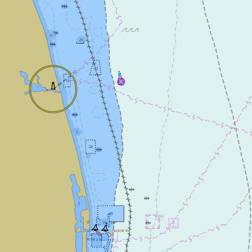
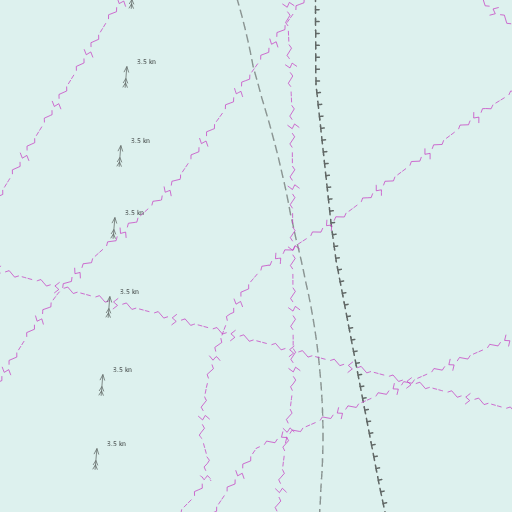
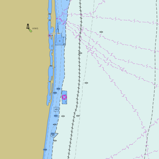
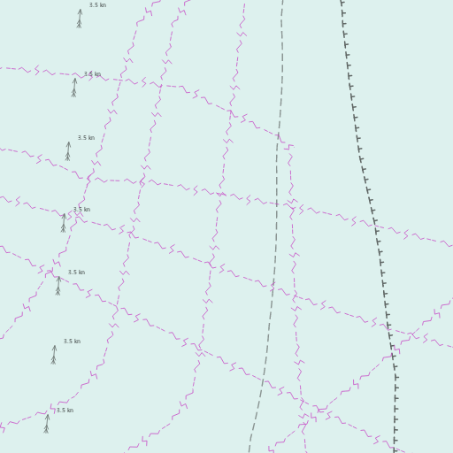
NOAA nautical charts with your GPS position and a wind map for Palm Beach and Jupiter in the Wind and Tides app


Weather
View allOvernight
72°F
Mostly Cloudy
7 mph SW
Thursday
80°F
Chance Rain Showers
7 to 10 mph W
Thursday Night
71°F
Slight Chance Rain Showers then Mostly Cloudy
5 to 12 mph W
Friday
75°F
Partly Sunny
13 mph NW
Tides and Currents
View all| Time (EST) | Event | Height/Speed |
|---|---|---|
| Thu, Nov 12 1:33 AM | ebb | 1.2 kts |
| Thu, Nov 12 3:26 AM | low | 0.6 ft |
| Thu, Nov 12 4:31 AM | slack | slack |
| Thu, Nov 12 8:00 AM | flood | 2.0 kts |
| Thu, Nov 12 10:01 AM | high | 3.5 ft |
| Thu, Nov 12 11:17 AM | slack | slack |
| Thu, Nov 12 2:20 PM | ebb | 1.2 kts |
| Thu, Nov 12 4:12 PM | low | 1.0 ft |
| Thu, Nov 12 5:16 PM | slack | slack |
| Thu, Nov 12 8:10 PM | flood | 1.3 kts |
| Thu, Nov 12 10:05 PM | high | 2.8 ft |
| Thu, Nov 12 11:08 PM | slack | slack |
Marine weather for Jupiter Inlet, the Loxahatchee River, Lake Worth Lagoon, Palm Beach Inlet, Peanut Island, the Port of Palm Beach, Blue Heron Bridge, Boynton Inlet, Lake Boca Raton, and Boca Inlet — Tequesta, Jupiter, Juno Beach, Juno Beach Pier, North Palm Beach, Singer Island, Riviera Beach, West Palm Beach, Palm Beach, Lake Worth Beach, Boynton Beach, Delray Beach, and Boca Raton, Florida. The West Palm Beach marine forecast and boating forecast; the Palm Beach tide chart; Palm Beach Inlet, Riviera Beach, Singer Island, and Jupiter Inlet tides; Lake Worth Inlet currents; live wind and Palm Beach water temperature at Lake Worth Pier; Settlement Point wind for the Bahamas crossing; and conditions for boating, fishing, diving, and sailing.