
Newport and Narragansett Bay Marine Weather
Marine Forecast
View all
REST OF TONIGHT W winds 10 to 15 kt. Waves 2 to 3 ft.
MON W winds 10 to 15 kt with gusts up to 20 kt. Waves 2 to 3 ft.
MON NIGHT W winds 10 to 15 kt. Gusts up to 20 kt in the evening. Waves 2 to 3 ft.
TUE W winds 10 to 15 kt. Gusts up to 20 kt in the afternoon. Waves 2 to 3 ft.
TUE NIGHT AND WED W winds 10 to 15 kt. Waves 2 to 3 ft.
WED NIGHT NW winds around 5 kt, becoming N around 5 kt after midnight. Waves around 2 ft in the evening, then 1 foot or less.
THU E winds 10 to 15 kt with gusts up to 20 kt. Waves around 2 ft.
THU NIGHT THROUGH FRI NIGHT N winds 20 to 25 kt with gusts up to 30 kt. Waves 2 to 3 ft, except 4 to 6 ft at the bay entrance. Rain likely. Seas are reported as significant wave height, which is the average of the highest third of the waves. Individual wave heights may be more than twice the significant wave height.
MON W winds 10 to 15 kt with gusts up to 20 kt. Waves 2 to 3 ft.
MON NIGHT W winds 10 to 15 kt. Gusts up to 20 kt in the evening. Waves 2 to 3 ft.
TUE W winds 10 to 15 kt. Gusts up to 20 kt in the afternoon. Waves 2 to 3 ft.
TUE NIGHT AND WED W winds 10 to 15 kt. Waves 2 to 3 ft.
WED NIGHT NW winds around 5 kt, becoming N around 5 kt after midnight. Waves around 2 ft in the evening, then 1 foot or less.
THU E winds 10 to 15 kt with gusts up to 20 kt. Waves around 2 ft.
THU NIGHT THROUGH FRI NIGHT N winds 20 to 25 kt with gusts up to 30 kt. Waves 2 to 3 ft, except 4 to 6 ft at the bay entrance. Rain likely. Seas are reported as significant wave height, which is the average of the highest third of the waves. Individual wave heights may be more than twice the significant wave height.
Newport and Narragansett Bay Nautical Charts
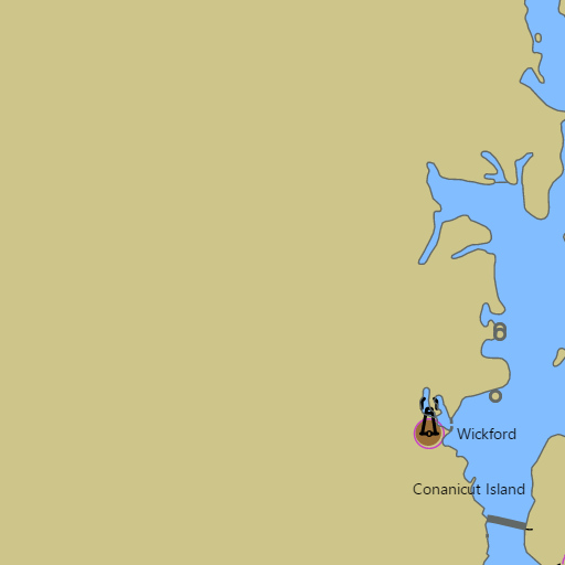
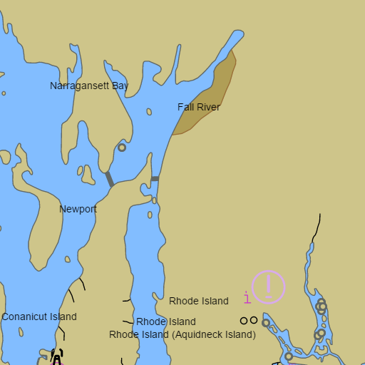
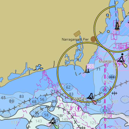
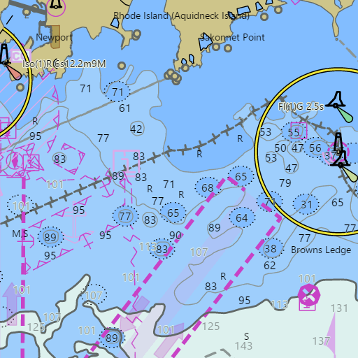
NOAA nautical charts with your GPS position and a wind map for Newport and Narragansett Bay in the Wind and Tides app


Weather
View allOvernight
49°F
Partly Cloudy
12 mph W
Monday
58°F
Slight Chance Rain Showers
12 to 15 mph W
Monday Night
44°F
Mostly Clear
14 mph W
Tuesday
58°F
Mostly Sunny
12 to 15 mph W
Tides and Currents
View all| Time (EST) | Event | Height/Speed |
|---|---|---|
| Mon, Nov 9 12:11 AM | low | 0.1 ft |
| Mon, Nov 9 1:16 AM | slack | slack |
| Mon, Nov 9 5:53 AM | flood | 0.8 kts |
| Mon, Nov 9 7:24 AM | high | 4.3 ft |
| Mon, Nov 9 7:33 AM | slack | slack |
| Mon, Nov 9 10:28 AM | ebb | 0.9 kts |
| Mon, Nov 9 1:10 PM | low | 0.2 ft |
| Mon, Nov 9 1:30 PM | slack | slack |
| Mon, Nov 9 6:16 PM | flood | 0.9 kts |
| Mon, Nov 9 7:44 PM | high | 3.5 ft |
| Mon, Nov 9 8:06 PM | slack | slack |
| Mon, Nov 9 10:56 PM | ebb | 0.8 kts |
Marine weather for Narragansett Bay, the East Passage, the West Passage, Mount Hope Bay, the Sakonnet River, and Rhode Island Sound — Newport, Newport Harbor, Fort Adams, Castle Hill, Brenton Reef, Jamestown, Beavertail, Prudence Island, Portsmouth, Melville, Bristol, Warren, Barrington, Tiverton, Sakonnet Point, Providence, the Providence River, Warwick, Greenwich Bay, East Greenwich, Wickford, Quonset Point, Narragansett, Point Judith, the Port of Galilee, and the Harbor of Refuge, Rhode Island; Fall River, Massachusetts. Wind, tides, and conditions for sailing, boating, cruising, fishing, kayaking, paddleboarding, windsurfing, kiteboarding, and wing foiling.