
Morro Bay and Port San Luis Marine Weather
Marine Forecast
View all
TODAY Light winds, becoming 10 to 15 kt. Seas 6 to 9 ft. Wave Detail: S 2 ft at 6 seconds, SW 2 ft at 14 seconds and NW 8 ft at 15 seconds.
TONIGHT S wind 10 to 15 kt. Seas 7 to 10 ft. Wave Detail: S 2 ft at 6 seconds, S 2 ft at 14 seconds and W 9 ft at 15 seconds. A slight chance of showers in the evening, then a chance of showers after midnight.
FRI S wind 10 to 20 kt, becoming SW 15 to 25 kt with gusts to 30 kt in the afternoon. Seas 8 to 10 ft. Wave Detail: S 3 ft at 6 seconds, W 9 ft at 14 seconds and S 2 ft at 15 seconds. A chance of showers in the morning, then rain likely in the afternoon.
FRI NIGHT W wind 15 to 25 kt with gusts to 30 kt, becoming NW 10 to 15 kt with gusts to 20 kt after midnight. Seas 8 to 10 ft, building to 10 to 13 ft. Wave Detail: NW 3 ft at 4 seconds, S 2 ft at 15 seconds and W 12 ft at 16 seconds. Rain in the evening, then a chance of showers after midnight.
SAT NW wind 10 to 15 kt. Seas 14 to 19 ft. Wave Detail: N 2 ft at 5 seconds, S 2 ft at 15 seconds and W 18 ft at 19 seconds.
SAT NIGHT NW wind 10 to 15 kt, becoming N 5 to 10 kt after midnight. Seas 13 to 18 ft, subsiding to 11 to 15 ft. Wave Detail: N 2 ft at 6 seconds, S 2 ft at 15 seconds and NW 16 ft at 17 seconds.
SUN Light winds, becoming SW 5 to 10 kt in the afternoon. Seas 10 to 13 ft, subsiding to 8 to 11 ft. Wave Detail: NW 12 ft at 15 seconds and S 2 ft at 16 seconds.
SUN NIGHT W wind 5 to 10 kt, becoming 10 to 15 kt after midnight. Seas 7 to 9 ft, building to 9 to 12 ft. Wave Detail: W 2 ft at 5 seconds, W 11 ft at 15 seconds and S 2 ft at 15 seconds. A slight chance of rain in the evening, then a chance of rain after midnight.
MON NW wind 10 to 15 kt with gusts to 20 kt. Seas 11 to 15 ft. Wave Detail: NW 2 ft at 6 seconds, S 2 ft at 15 seconds and W 14 ft at 18 seconds. Rain likely in the morning, then a chance of rain in the afternoon.
MON NIGHT NW wind 15 to 25 kt with gusts to 30 kt. Seas 11 to 15 ft. Wave Detail: N 2 ft at 6 seconds, S 2 ft at 15 seconds and NW 14 ft at 17 seconds. A chance of rain.
TONIGHT S wind 10 to 15 kt. Seas 7 to 10 ft. Wave Detail: S 2 ft at 6 seconds, S 2 ft at 14 seconds and W 9 ft at 15 seconds. A slight chance of showers in the evening, then a chance of showers after midnight.
FRI S wind 10 to 20 kt, becoming SW 15 to 25 kt with gusts to 30 kt in the afternoon. Seas 8 to 10 ft. Wave Detail: S 3 ft at 6 seconds, W 9 ft at 14 seconds and S 2 ft at 15 seconds. A chance of showers in the morning, then rain likely in the afternoon.
FRI NIGHT W wind 15 to 25 kt with gusts to 30 kt, becoming NW 10 to 15 kt with gusts to 20 kt after midnight. Seas 8 to 10 ft, building to 10 to 13 ft. Wave Detail: NW 3 ft at 4 seconds, S 2 ft at 15 seconds and W 12 ft at 16 seconds. Rain in the evening, then a chance of showers after midnight.
SAT NW wind 10 to 15 kt. Seas 14 to 19 ft. Wave Detail: N 2 ft at 5 seconds, S 2 ft at 15 seconds and W 18 ft at 19 seconds.
SAT NIGHT NW wind 10 to 15 kt, becoming N 5 to 10 kt after midnight. Seas 13 to 18 ft, subsiding to 11 to 15 ft. Wave Detail: N 2 ft at 6 seconds, S 2 ft at 15 seconds and NW 16 ft at 17 seconds.
SUN Light winds, becoming SW 5 to 10 kt in the afternoon. Seas 10 to 13 ft, subsiding to 8 to 11 ft. Wave Detail: NW 12 ft at 15 seconds and S 2 ft at 16 seconds.
SUN NIGHT W wind 5 to 10 kt, becoming 10 to 15 kt after midnight. Seas 7 to 9 ft, building to 9 to 12 ft. Wave Detail: W 2 ft at 5 seconds, W 11 ft at 15 seconds and S 2 ft at 15 seconds. A slight chance of rain in the evening, then a chance of rain after midnight.
MON NW wind 10 to 15 kt with gusts to 20 kt. Seas 11 to 15 ft. Wave Detail: NW 2 ft at 6 seconds, S 2 ft at 15 seconds and W 14 ft at 18 seconds. Rain likely in the morning, then a chance of rain in the afternoon.
MON NIGHT NW wind 15 to 25 kt with gusts to 30 kt. Seas 11 to 15 ft. Wave Detail: N 2 ft at 6 seconds, S 2 ft at 15 seconds and NW 14 ft at 17 seconds. A chance of rain.
Morro Bay and Port San Luis Nautical Charts
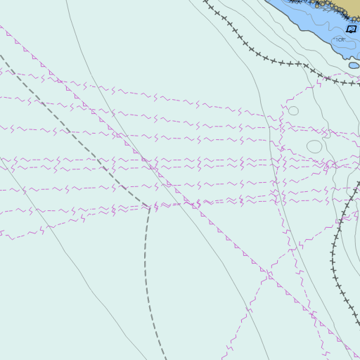
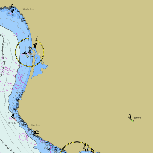
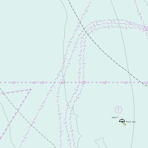
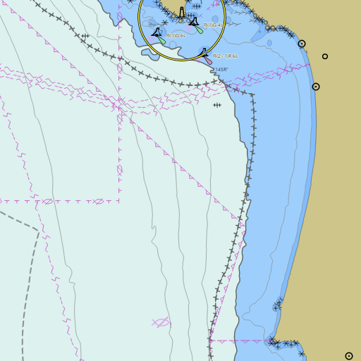
NOAA nautical charts with your GPS position and a wind map for Morro Bay and Port San Luis in the Wind and Tides app


Weather
View allToday
69°F
Partly Sunny
10 mph S
Tonight
60°F
Chance Rain Showers
10 mph SSE
Friday
64°F
Rain
10 to 25 mph SSW
Friday Night
57°F
Rain then Slight Chance Rain Showers
5 to 25 mph NW
Tides
View all| Time (PST) | Event | Height |
|---|---|---|
| Thu, Nov 12 12:41 AM | high | 3.6 ft |
| Thu, Nov 12 4:05 AM | low | 3.2 ft |
| Thu, Nov 12 10:24 AM | high | 5.5 ft |
| Thu, Nov 12 6:19 PM | low | 0.0 ft |
Marine weather for Morro Bay, Port San Luis, San Simeon, San Simeon Bay, Piedras Blancas, Cambria, Cayucos, Estero Bay, Morro Rock, Morro Bay Harbor, the Morro Bay harbor entrance, Los Osos, Baywood Park, Montaña de Oro, Point Buchon, Point San Luis, Harford Pier, Avila Beach, San Luis Obispo, Shell Beach, Pismo Beach, Grover Beach, Oceano, Point Sal, and San Luis Obispo Bay, California. Wind, tides, and conditions for sailing, boating, fishing, surfing, kayaking, paddleboarding, windsurfing, kiteboarding, wing foiling, scuba diving, and whale watching.