
Monterey Bay Marine Weather
Marine Forecast
View all
TODAY S wind 5 to 10 kt, rising to 10 to 15 kt late this morning, rising to 15 to 20 kt early this afternoon, becoming SW 5 to 10 kt late. Seas 4 to 6 ft. Wave Detail: SW 4 ft at 15 seconds and W 4 ft at 16 seconds. A slight chance of rain early this morning, then rain late this morning. A chance of rain this afternoon.
TONIGHT SW wind 5 to 10 kt, backing to E after midnight. Seas 5 to 7 ft. Wave Detail: W 6 ft at 15 seconds and SW 4 ft at 15 seconds. A chance of rain, mainly in the evening.
WED NE wind 5 to 10 kt, becoming NW 10 to 15 kt in the afternoon. Seas 5 to 7 ft. Wave Detail: W 6 ft at 14 seconds and SW 3 ft at 14 seconds.
WED NIGHT N wind 15 to 20 kt, easing to 5 to 10 kt after midnight. Seas 4 to 6 ft. Wave Detail: W 6 ft at 12 seconds and SW 3 ft at 14 seconds.
THU NE wind around 5 kt, backing to NW 10 to 15 kt in the afternoon. Seas 3 to 5 ft. Wave Detail: W 5 ft at 13 seconds and S 3 ft at 14 seconds.
THU NIGHT N wind 10 to 15 kt, becoming NE 5 to 10 kt after midnight. Seas 4 to 6 ft. Wave Detail: NW 6 ft at 16 seconds.
FRI NE wind around 5 kt, backing to NW in the afternoon. Seas 5 to 7 ft. Wave Detail: S 4 ft at 15 seconds and NW 6 ft at 16 seconds.
FRI NIGHT NE wind 5 to 10 kt. Seas 5 to 7 ft. Wave Detail: W 5 ft at 15 seconds and SW 4 ft at 15 seconds.
SAT NE wind 5 to 10 kt, backing to NW in the afternoon. Seas 4 to 6 ft. Wave Detail: W 5 ft at 15 seconds and SW 3 ft at 16 seconds.
SAT NIGHT N wind 5 to 10 kt. Seas 4 to 6 ft. Wave Detail: W 5 ft at 14 seconds and SW 3 ft at 16 seconds. Locally lower winds and seas across sheltered portions of the bay.
TONIGHT SW wind 5 to 10 kt, backing to E after midnight. Seas 5 to 7 ft. Wave Detail: W 6 ft at 15 seconds and SW 4 ft at 15 seconds. A chance of rain, mainly in the evening.
WED NE wind 5 to 10 kt, becoming NW 10 to 15 kt in the afternoon. Seas 5 to 7 ft. Wave Detail: W 6 ft at 14 seconds and SW 3 ft at 14 seconds.
WED NIGHT N wind 15 to 20 kt, easing to 5 to 10 kt after midnight. Seas 4 to 6 ft. Wave Detail: W 6 ft at 12 seconds and SW 3 ft at 14 seconds.
THU NE wind around 5 kt, backing to NW 10 to 15 kt in the afternoon. Seas 3 to 5 ft. Wave Detail: W 5 ft at 13 seconds and S 3 ft at 14 seconds.
THU NIGHT N wind 10 to 15 kt, becoming NE 5 to 10 kt after midnight. Seas 4 to 6 ft. Wave Detail: NW 6 ft at 16 seconds.
FRI NE wind around 5 kt, backing to NW in the afternoon. Seas 5 to 7 ft. Wave Detail: S 4 ft at 15 seconds and NW 6 ft at 16 seconds.
FRI NIGHT NE wind 5 to 10 kt. Seas 5 to 7 ft. Wave Detail: W 5 ft at 15 seconds and SW 4 ft at 15 seconds.
SAT NE wind 5 to 10 kt, backing to NW in the afternoon. Seas 4 to 6 ft. Wave Detail: W 5 ft at 15 seconds and SW 3 ft at 16 seconds.
SAT NIGHT N wind 5 to 10 kt. Seas 4 to 6 ft. Wave Detail: W 5 ft at 14 seconds and SW 3 ft at 16 seconds. Locally lower winds and seas across sheltered portions of the bay.
Monterey Bay Nautical Charts
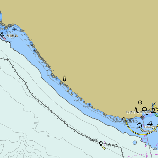
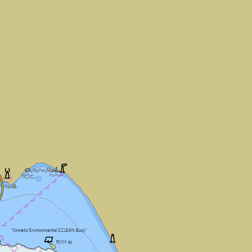
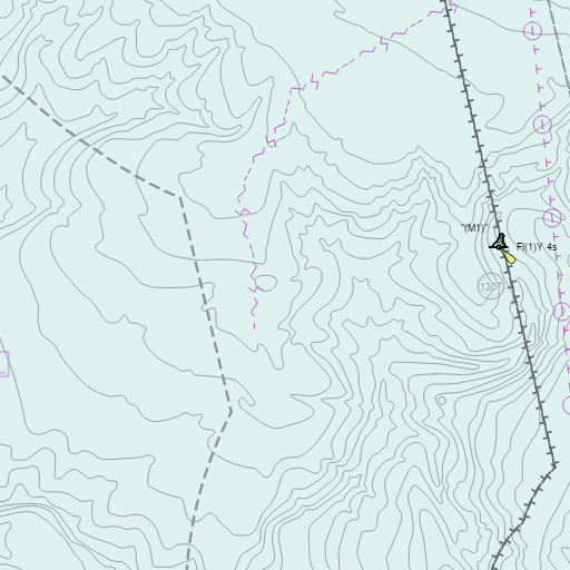
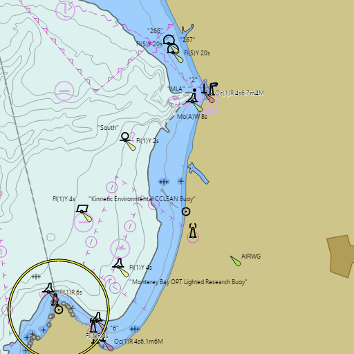
NOAA nautical charts with your GPS position and a wind map for Monterey Bay in the Wind and Tides app


Weather
View allOvernight
55°F
Mostly Cloudy
9 mph SW
Tuesday
64°F
Light Rain Likely
7 to 13 mph SSW
Tuesday Night
54°F
Chance Light Rain
6 mph S
Wednesday
64°F
Mostly Sunny
5 to 12 mph NNE
Tides
View all| Time (PST) | Event | Height |
|---|---|---|
| Tue, Nov 3 6:25 AM | high | 4.7 ft |
| Tue, Nov 3 12:11 PM | low | 2.2 ft |
| Tue, Nov 3 5:40 PM | high | 4.5 ft |
Marine weather for Monterey Bay, Monterey, Pacific Grove, Seaside, Marina, Moss Landing, Castroville, Watsonville, Aptos, Capitola, Soquel, Santa Cruz, and the Monterey Canyon, California. Wind, tides, and conditions for surfing, sailing, fishing, boating, kayaking, paddleboarding, windsurfing, kiteboarding, wing foiling, scuba diving, and whale watching.