
Mobile Bay North Marine Weather
Marine Forecast
View allNo forecast available.
Mobile Bay North Nautical Charts
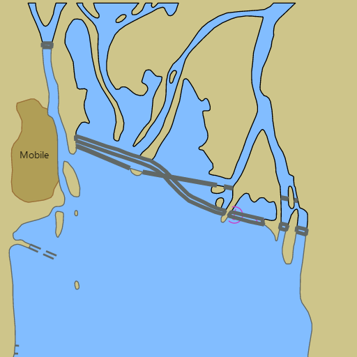
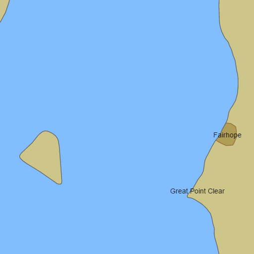
NOAA nautical charts with your GPS position and a wind map for Mobile Bay North in the Wind and Tides app


Weather
View allNo weather data available.
Tides
View allTide data temporarily unavailable.
Conditions
Marine weather for North Mobile Bay, the Mobile River, the Tensaw River, the Blakeley River, the Mobile-Tensaw Delta, and Dog River — Mobile, Dog River Marina, the Dog River Bridge, Gaillard Island, the Eastern Shore, Point Clear, Fairhope, the Fairhope Pier, Fly Creek Marina, Daphne, Spanish Fort, Meaher State Park, and the Mobile Bay Causeway, Alabama. Wind, tides, and conditions for boating, sailing, fishing, cruising, kayaking, paddleboarding, windsurfing, kiteboarding, and wing foiling.