
Long Island Sound East Marine Weather
Marine Forecast
View all
TODAY SW winds 10 to 15 kt, diminishing to 5 to 10 kt this afternoon. Seas 1 to 2 ft early this morning, then 1 ft or less. Wave Detail: W 2 ft at 3 seconds, becoming SW 1 ft at 3 seconds.
TONIGHT SW winds 5 to 10 kt. Seas 1 ft or less. Wave Detail: SW 1 ft at 2 seconds.
WED SW winds 5 to 10 kt. Seas 1 ft or less. Wave Detail: SW 1 ft at 2 seconds.
WED NIGHT SW winds 5 to 10 kt. Seas 1 ft or less. Wave Detail: SW 1 ft at 2 seconds.
THU SW winds 5 to 10 kt, increasing to 10 to 15 kt with gusts up to 20 kt in the afternoon. Seas 1 to 2 ft. Wave Detail: SW 1 ft at 2 seconds.
THU NIGHT SW winds 5 to 10 kt. Seas 1 to 2 ft. Wave Detail: SW 1 ft at 3 seconds and SE 1 ft at 8 seconds. Showers likely after midnight.
FRI S winds 5 to 10 kt. Seas around 2 ft. Showers likely. Vsby 1 to 3 nm.
FRI NIGHT SW winds 5 to 10 kt. Seas 2 to 3 ft. Rain.
SAT NW winds 5 to 10 kt. Seas 2 to 3 ft. Rain likely.
SAT NIGHT N winds 5 to 10 kt. Seas 2 to 3 ft.
TONIGHT SW winds 5 to 10 kt. Seas 1 ft or less. Wave Detail: SW 1 ft at 2 seconds.
WED SW winds 5 to 10 kt. Seas 1 ft or less. Wave Detail: SW 1 ft at 2 seconds.
WED NIGHT SW winds 5 to 10 kt. Seas 1 ft or less. Wave Detail: SW 1 ft at 2 seconds.
THU SW winds 5 to 10 kt, increasing to 10 to 15 kt with gusts up to 20 kt in the afternoon. Seas 1 to 2 ft. Wave Detail: SW 1 ft at 2 seconds.
THU NIGHT SW winds 5 to 10 kt. Seas 1 to 2 ft. Wave Detail: SW 1 ft at 3 seconds and SE 1 ft at 8 seconds. Showers likely after midnight.
FRI S winds 5 to 10 kt. Seas around 2 ft. Showers likely. Vsby 1 to 3 nm.
FRI NIGHT SW winds 5 to 10 kt. Seas 2 to 3 ft. Rain.
SAT NW winds 5 to 10 kt. Seas 2 to 3 ft. Rain likely.
SAT NIGHT N winds 5 to 10 kt. Seas 2 to 3 ft.
Long Island Sound East Nautical Charts
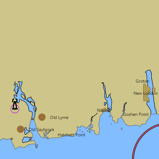
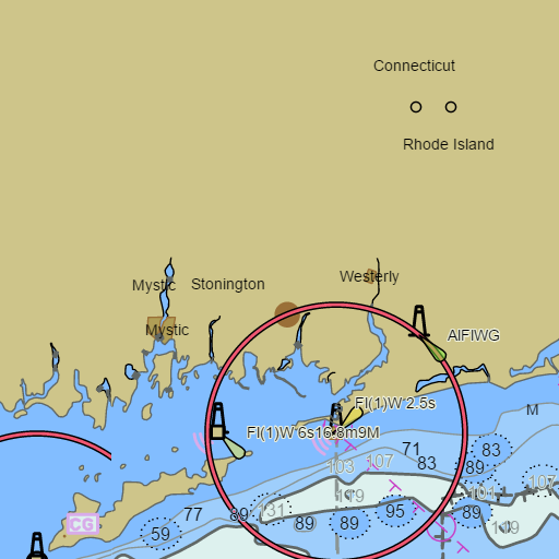
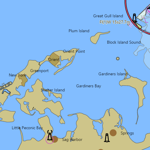
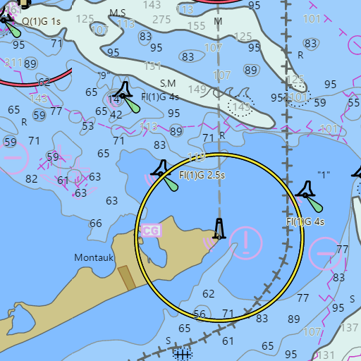
NOAA nautical charts with your GPS position and a wind map for Long Island Sound East in the Wind and Tides app


Weather
View allOvernight
48°F
Mostly Clear
5 mph SW
Tuesday
68°F
Mostly Sunny
2 to 10 mph SW
Tuesday Night
50°F
Partly Cloudy
6 mph SW
Wednesday
70°F
Mostly Sunny
6 to 10 mph SW
Tides and Currents
View all| Time (EST) | Event | Height/Speed |
|---|---|---|
| Tue, Nov 3 12:24 AM | slack | slack |
| Tue, Nov 3 3:27 AM | flood | 3.0 kts |
| Tue, Nov 3 4:10 AM | high | 2.6 ft |
| Tue, Nov 3 6:19 AM | slack | slack |
| Tue, Nov 3 9:31 AM | ebb | 3.9 kts |
| Tue, Nov 3 10:35 AM | low | 0.5 ft |
| Tue, Nov 3 12:58 PM | slack | slack |
| Tue, Nov 3 3:57 PM | flood | 2.9 kts |
| Tue, Nov 3 4:38 PM | high | 2.7 ft |
| Tue, Nov 3 6:48 PM | slack | slack |
| Tue, Nov 3 10:02 PM | ebb | 3.8 kts |
| Tue, Nov 3 11:04 PM | low | 0.2 ft |
Conditions
Marine weather for the eastern Long Island Sound and the lower Connecticut River — Old Saybrook, Saybrook Point, Old Lyme, Essex, Hamburg Cove, the Connecticut River, Niantic, Waterford, New London, the Thames River, Groton, Noank, Mystic, the Mystic River, Stonington, and Pawcatuck, Connecticut; Napatree Point, Little Narragansett Bay, and Watch Hill, Rhode Island; Fishers Island, West Harbor, Fishers Island Sound, Plum Island, Plum Gut, and Orient Point, New York; and the tidal gates of The Race, Little Gull Island, Race Rock, and Bartlett Reef out through the eastern approaches toward Block Island Sound and Montauk. Wind, tides, and currents for sailing, boating, fishing, kayaking, paddleboarding, and windsurfing.