
Honolulu and Oahu South Shore Marine Weather
Marine Forecast
View allSMALL CRAFT ADVISORY IN EFFECT FROM SUNDAY MORNING THROUGH MONDAY AFTERNOON
TONIGHT East northeast winds 10 to 15 knots. Seas 5 to 6 feet. Wave Detail: South 4 feet at 13 seconds, north northwest 4 feet at 19 seconds and east 3 feet at 5 seconds. Scattered showers with isolated thunderstorms this evening, then numerous showers after midnight.SUNDAY Northeast winds 15 to 20 knots, rising to 20 to 25 knots in the afternoon. Seas 6 to 9 feet. Wave Detail: Northeast 6 feet at 6 seconds, north northwest 6 feet at 16 seconds and south 4 feet at 13 seconds. Numerous showers, mainly in the morning.
SUNDAY NIGHT Northeast winds 20 to 25 knots. Seas 7 to 10 feet. Wave Detail: Northeast 7 feet at 6 seconds, north northwest 7 feet at 15 seconds and south 3 feet at 13 seconds.
MONDAY Northeast winds 20 to 25 knots, becoming east northeast 25 to 30 knots in the afternoon. Seas 7 to 10 feet, building to 9 to 12 feet in the afternoon. Wave Detail: East northeast 10 feet at 8 seconds and north northwest 6 feet at 14 seconds.
MONDAY NIGHT East northeast winds to 25 knots. Seas 8 to 11 feet. Wave Detail: East northeast 9 feet at 8 seconds and north northwest 6 feet at 13 seconds.
TUESDAY East northeast winds to 20 knots. Seas 5 to 8 feet. Wave Detail: East northeast 6 feet at 6 seconds and north northwest 5 feet at 12 seconds.
TUESDAY NIGHT East northeast winds 20 to 25 knots. Seas 5 to 7 feet. Wave Detail: East northeast 6 feet at 6 seconds and north northwest 4 feet at 12 seconds. Isolated showers after midnight.
WEDNESDAY East northeast winds 20 to 25 knots. Seas 5 to 8 feet. Wave Detail: East northeast 7 feet at 6 seconds and north northwest 5 feet at 20 seconds. Isolated showers in the morning. Isolated showers after midnight.
THURSDAY East northeast winds 20 to 25 knots, easing to 15 to 20 knots after midnight. Seas 6 to 9 feet. Wave Detail: East northeast 6 feet at 6 seconds and north northwest 6 feet at 16 seconds. Isolated showers after midnight. Winds and seas higher in and near tstms.
Honolulu and Oahu South Shore Nautical Charts
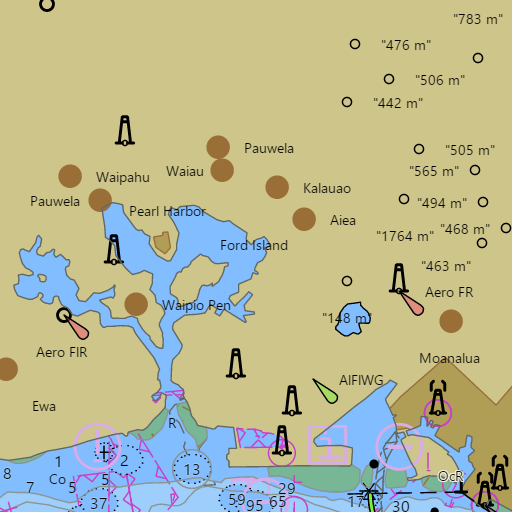
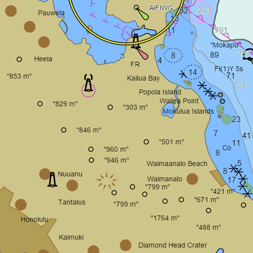
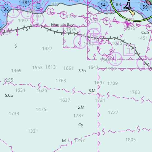
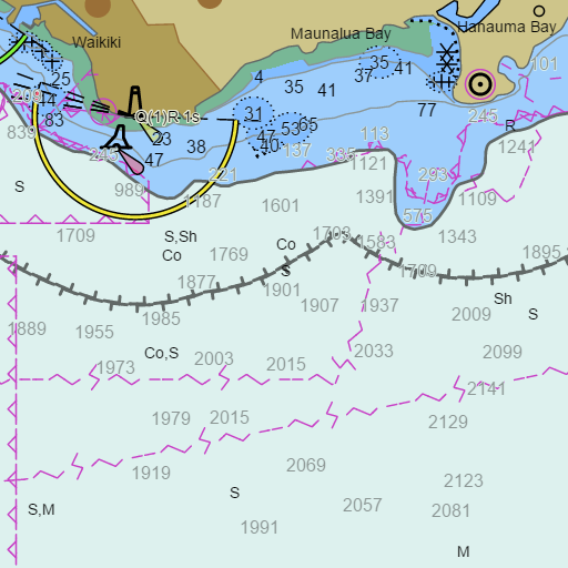
NOAA nautical charts with your GPS position and a wind map for Honolulu and Oahu South Shore in the Wind and Tides app


Weather
View allThis Afternoon
83°F
Scattered Rain Showers
10 mph ENE
Tonight
76°F
Scattered Rain Showers
1 to 8 mph ENE
Sunday
83°F
Scattered Rain Showers
1 to 16 mph ENE
Sunday Night
74°F
Isolated Rain Showers then Partly Cloudy
16 mph NE
Tides and Currents
View all| Time (HST) | Event | Height/Speed |
|---|---|---|
| Sat, Oct 31 1:34 PM | ebb | 1.0 kts |
| Sat, Oct 31 4:55 PM | low | 0.3 ft |
| Sat, Oct 31 4:59 PM | slack | slack |
| Sat, Oct 31 8:07 PM | flood | 1.4 kts |
| Sat, Oct 31 9:52 PM | high | 0.6 ft |
| Sat, Oct 31 10:57 PM | slack | slack |
Marine weather for Honolulu, Oahu, Hanauma Bay, Koko Head, Portlock, Maunalua Bay, Hawaii Kai, Diamond Head, Waikiki, Ala Wai Small Boat Harbor, Waikiki Yacht Club, Hawaii Yacht Club, Ala Moana, Magic Island, Kewalo Basin, Honolulu Harbor, Sand Island, Keehi Lagoon, Pearl Harbor, Ewa Beach, Barbers Point, Kalaeloa, Ko Olina, Kahe Point, Electric Beach, Nanakuli, Pokai Bay, Waianae Small Boat Harbor, Makaha, and Kaena Point, Hawaii. Wind, tides, and conditions for sailing, boating, fishing, surfing, kayaking, paddleboarding, outrigger canoe paddling, windsurfing, kiteboarding, wing foiling, snorkeling, scuba diving, and whale watching.