
Fire Island Marine Weather
Marine Forecast
View allSMALL CRAFT ADVISORY IN EFFECT FROM 10 AM EST THIS MORNING THROUGH FRIDAY AFTERNOON
TODAY E winds 15 to 20 kt. Seas 3 to 5 ft, occasionally to 6 ft. Wave Detail: SE 5 ft at 6 seconds and SE 1 ft at 10 seconds. Chance of rain late this morning. Rain this afternoon.TONIGHT NE winds 20 to 25 kt, increasing to 25 to 30 kt after midnight. Seas 5 to 7 ft, occasionally to 9 ft. Wave Detail: E 7 ft at 7 seconds and SE 1 ft at 9 seconds. Rain.
FRI NE winds 25 to 30 kt, becoming N 20 to 25 kt in the afternoon. Seas 5 to 7 ft, occasionally to 9 ft. Wave Detail: E 7 ft at 7 seconds and S 3 ft at 8 seconds. Rain.
FRI NIGHT N winds 15 to 20 kt with gusts up to 25 kt. Seas 4 to 6 ft, occasionally to 8 ft. Wave Detail: E 5 ft at 7 seconds and N 3 ft at 4 seconds. Chance of rain.
SAT NW winds 15 to 20 kt. Seas 3 to 4 ft, occasionally to 5 ft. Wave Detail: N 3 ft at 4 seconds and E 3 ft at 7 seconds. Slight chance of rain in the morning.
SAT NIGHT NW winds 15 to 20 kt with gusts up to 25 kt. Seas 2 to 4 ft, occasionally to 5 ft. Wave Detail: NW 3 ft at 4 seconds and E 1 ft at 7 seconds.
SUN NW winds 15 to 20 kt. Seas 2 to 4 ft, occasionally to 5 ft.
SUN NIGHT NW winds 15 to 20 kt. Seas 2 to 3 ft.
MON NW winds 10 to 15 kt with gusts up to 20 kt. Seas 2 to 3 ft.
MON NIGHT NW winds around 10 kt. Seas around 2 ft.
Fire Island Nautical Charts
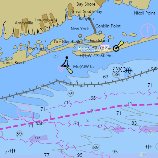
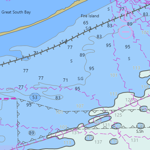
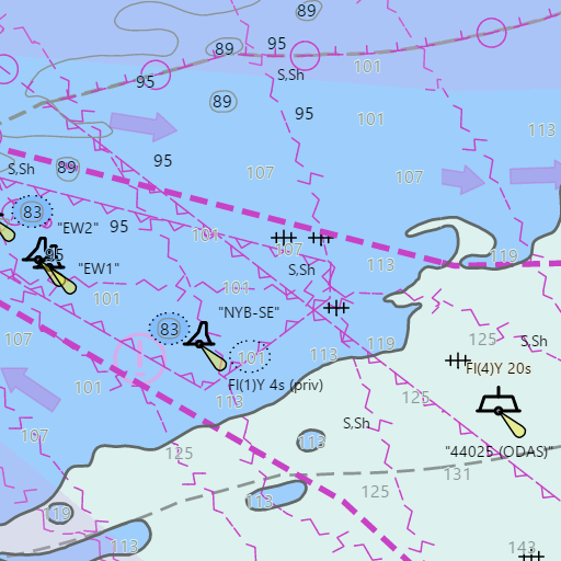
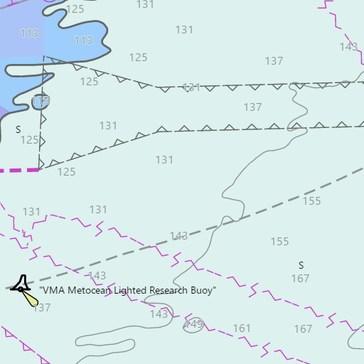
NOAA nautical charts with your GPS position and a wind map for Fire Island in the Wind and Tides app


Weather
View allOvernight
56°F
Mostly Cloudy
12 to 17 mph SE
Thursday
60°F
Light Rain
18 to 24 mph E
Thursday Night
45°F
Light Rain
24 to 29 mph NE
Friday
49°F
Light Rain
20 to 29 mph N
Tides and Currents
View all| Time (EST) | Event | Height/Speed |
|---|---|---|
| Thu, Nov 12 1:53 AM | ebb | 2.6 kts |
| Thu, Nov 12 2:57 AM | low | 0.2 ft |
| Thu, Nov 12 6:01 AM | slack | slack |
| Thu, Nov 12 8:11 AM | flood | 2.5 kts |
| Thu, Nov 12 9:19 AM | high | 2.2 ft |
| Thu, Nov 12 11:57 AM | slack | slack |
| Thu, Nov 12 2:17 PM | ebb | 2.4 kts |
| Thu, Nov 12 3:55 PM | low | 0.3 ft |
| Thu, Nov 12 7:09 PM | slack | slack |
| Thu, Nov 12 9:33 PM | high | 1.6 ft |
| Thu, Nov 12 9:55 PM | flood | 1.4 kts |
Marine weather for the Atlantic off Fire Island on Long Island's South Shore, Fire Island Inlet, Democrat Point, the Fire Island Lighthouse, Fire Island Reef, the Oregon wreck, Moriches Reef, and Moriches Inlet — the ocean beaches of Fire Island National Seashore, Robert Moses State Park, Kismet, Saltaire, Ocean Beach, Ocean Bay Park, Point O'Woods, Cherry Grove, Fire Island Pines, Davis Park, Watch Hill, and Smith Point, New York. Wind forecast; Fire Island Inlet tides, currents, and slack tide times; waves and ocean temperature at buoy 44025 (the Islip buoy); and conditions for party boat and charter fishing out of Captree, surf fishing, boating, cruising, sailing, racing in the Around Long Island Regatta, and surfing.