
Dauphin Island and Fort Morgan Marine Weather
Marine Forecast
View allNo forecast available.
Dauphin Island and Fort Morgan Nautical Charts
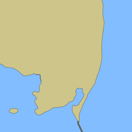
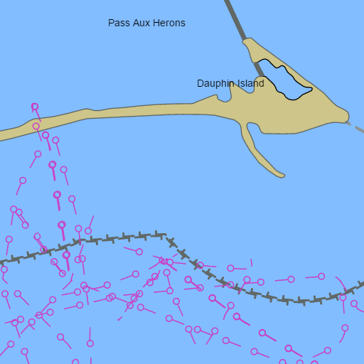
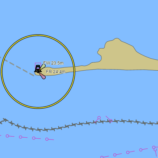
NOAA nautical charts with your GPS position and a wind map for Dauphin Island and Fort Morgan in the Wind and Tides app


Weather
View allNo weather data available.
Tides and Currents
View all| Time (CDT) | Event | Height/Speed |
|---|---|---|
| Sat, Oct 31 9:03 PM | flood | 2.2 kts |
Marine weather for South Mobile Bay, Bon Secour Bay, Weeks Bay, the Alabama side of Mississippi Sound, Fowl River, and the Bon Secour River — Dauphin Island, Dauphin Island Marina, Billy Goat Hole, the Dauphin Island Sea Lab, Fort Gaines, the Mobile Bay Ferry, Fort Morgan, Fort Morgan Marina, Bon Secour, Mullet Point, the Middle Bay Lighthouse, Fowl River Marina, Bayou La Batre, the Cedar Point Pier, and the Dauphin Island Bridge, Alabama. Wind, tides, and conditions for fishing, boating, sailing, cruising, kayaking, paddleboarding, windsurfing, kiteboarding, and wing foiling.