
Norfolk and Lower Chesapeake Bay Marine Weather
Marine Forecast
View all
TODAY S winds 10 to 15 kt, becoming N late. Gusts up to 20 kt. Waves 1 to 2 ft. A chance of showers with a slight chance of tstms after midnight, then showers with a chance of tstms.
TONIGHT N winds 5 to 10 kt with gusts up to 15 kt, increasing to 15 to 20 kt with gusts up to 25 kt. Waves 2 to 3 ft. Showers with a chance of tstms early in the evening.
SAT N winds 15 to 20 kt, becoming NW 10 to 15 kt in the afternoon. Gusts up to 25 kt. Waves 3 to 4 ft, occasionally to 5 ft.
SAT NIGHT NW winds 15 to 20 kt with gusts up to 25 kt. Waves 2 to 3 ft.
SUN W winds 10 to 15 kt with gusts up to 20 kt. Waves 2 to 3 ft.
SUN NIGHT SW winds 10 to 15 kt, becoming W 15 to 20 kt after midnight. Waves 2 to 3 ft.
MON NW winds 10 to 15 kt with gusts up to 20 kt. Waves 2 to 3 ft.
MON NIGHT NW winds 5 to 10 kt. Gusts up to 15 kt in the evening. Waves 1 foot.
TUE SW winds 5 to 10 kt with gusts up to 15 kt. Waves 1 foot.
TUE NIGHT W winds 5 to 10 kt with gusts up to 15 kt. Waves 1 foot. Winds and waves higher in and near tstms.
TONIGHT N winds 5 to 10 kt with gusts up to 15 kt, increasing to 15 to 20 kt with gusts up to 25 kt. Waves 2 to 3 ft. Showers with a chance of tstms early in the evening.
SAT N winds 15 to 20 kt, becoming NW 10 to 15 kt in the afternoon. Gusts up to 25 kt. Waves 3 to 4 ft, occasionally to 5 ft.
SAT NIGHT NW winds 15 to 20 kt with gusts up to 25 kt. Waves 2 to 3 ft.
SUN W winds 10 to 15 kt with gusts up to 20 kt. Waves 2 to 3 ft.
SUN NIGHT SW winds 10 to 15 kt, becoming W 15 to 20 kt after midnight. Waves 2 to 3 ft.
MON NW winds 10 to 15 kt with gusts up to 20 kt. Waves 2 to 3 ft.
MON NIGHT NW winds 5 to 10 kt. Gusts up to 15 kt in the evening. Waves 1 foot.
TUE SW winds 5 to 10 kt with gusts up to 15 kt. Waves 1 foot.
TUE NIGHT W winds 5 to 10 kt with gusts up to 15 kt. Waves 1 foot. Winds and waves higher in and near tstms.
Norfolk and Lower Chesapeake Bay Nautical Charts
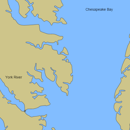
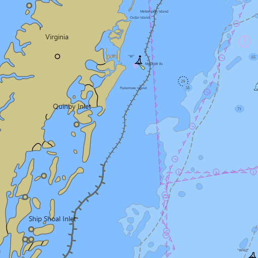
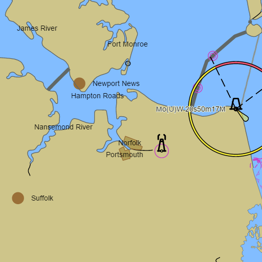
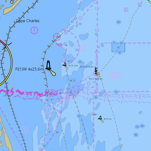
NOAA nautical charts with your GPS position and a wind map for Norfolk and Lower Chesapeake Bay in the Wind and Tides app


Weather
View allOvernight
67°F
Chance Showers And Thunderstorms
14 mph S
Friday
71°F
Showers And Thunderstorms
10 to 14 mph W
Friday Night
56°F
Showers And Thunderstorms then Mostly Cloudy
8 to 15 mph N
Saturday
62°F
Mostly Sunny
10 to 16 mph NW
Tides and Currents
View all| Time (EST) | Event | Height/Speed |
|---|---|---|
| Fri, Nov 6 12:21 AM | low | 0.2 ft |
| Fri, Nov 6 12:38 AM | ebb | 1.0 kts |
| Fri, Nov 6 4:08 AM | slack | slack |
| Fri, Nov 6 6:48 AM | high | 3.0 ft |
| Fri, Nov 6 7:22 AM | flood | 1.1 kts |
| Fri, Nov 6 10:01 AM | slack | slack |
| Fri, Nov 6 1:05 PM | low | 0.3 ft |
| Fri, Nov 6 1:23 PM | ebb | 1.1 kts |
| Fri, Nov 6 5:15 PM | slack | slack |
| Fri, Nov 6 7:00 PM | high | 2.6 ft |
| Fri, Nov 6 7:49 PM | flood | 0.6 kts |
| Fri, Nov 6 9:48 PM | slack | slack |
Marine weather for the Lower Chesapeake Bay, the Southern Bay, and both Virginia shores — Norfolk, Portsmouth, Hampton, Newport News, Old Point Comfort, Little Creek, Lynnhaven Inlet, Poquoson, Yorktown, Gloucester Point, Mathews, New Point Comfort, Deltaville, Urbanna, Irvington, Reedville, Cape Charles, Kiptopeke, Hampton Roads, Mobjack Bay, the York River, the Rappahannock River, the Piankatank River, the Elizabeth River, the Intracoastal Waterway, Cape Henry, and the Chesapeake Bay Bridge-Tunnel, Virginia. Wind, tides, and conditions for sailing, boating, cruising, fishing, crabbing, kayaking, paddleboarding, windsurfing, kiteboarding, and wing foiling.