
Newport and Narragansett Bay Marine Weather
Marine Forecast
View allNo forecast available.
Newport and Narragansett Bay Nautical Charts
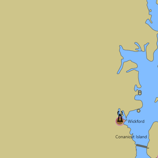
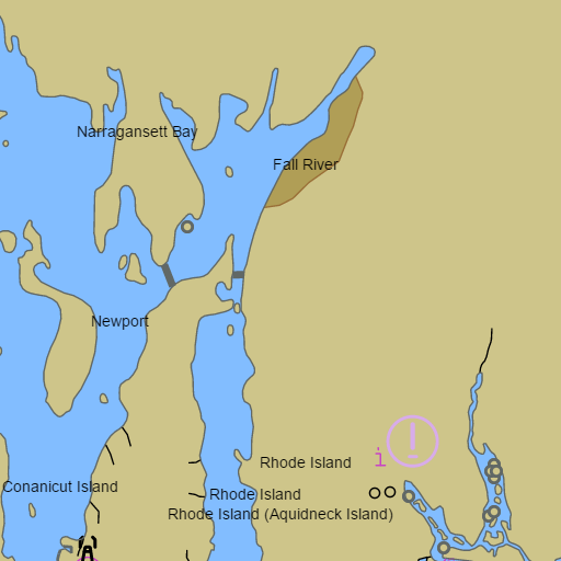
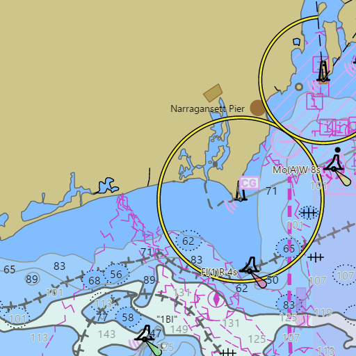
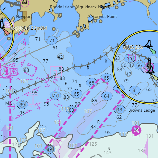
NOAA nautical charts with your GPS position and a wind map for Newport and Narragansett Bay in the Wind and Tides app


Weather
View allNo weather data available.
Tides and Currents
View allTide and current data temporarily unavailable.
Conditions
No recent observations.
Marine weather for Narragansett Bay, the East Passage, the West Passage, Mount Hope Bay, the Sakonnet River, and Rhode Island Sound — Newport, Newport Harbor, Fort Adams, Castle Hill, Brenton Reef, Jamestown, Beavertail, Prudence Island, Portsmouth, Melville, Bristol, Warren, Barrington, Tiverton, Sakonnet Point, Providence, the Providence River, Warwick, Greenwich Bay, East Greenwich, Wickford, Quonset Point, Narragansett, Point Judith, the Port of Galilee, and the Harbor of Refuge, Rhode Island; Fall River, Massachusetts. Wind, tides, and conditions for sailing, boating, cruising, fishing, kayaking, paddleboarding, windsurfing, kiteboarding, and wing foiling.