
New York Harbor and Raritan Bay Marine Weather
Marine Forecast
View allNo forecast available.
New York Harbor and Raritan Bay Nautical Charts
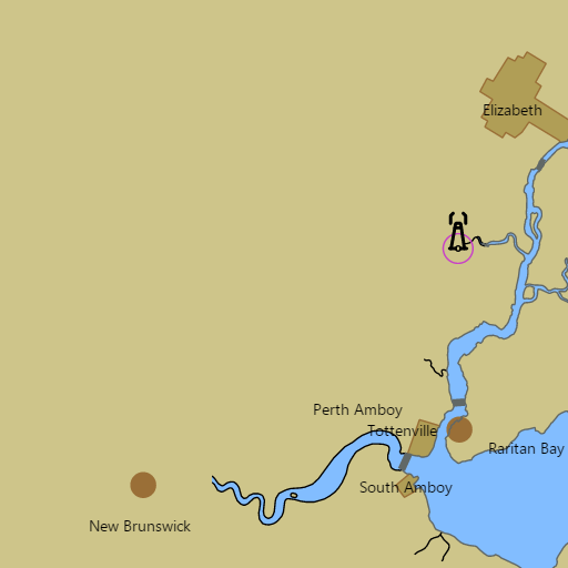
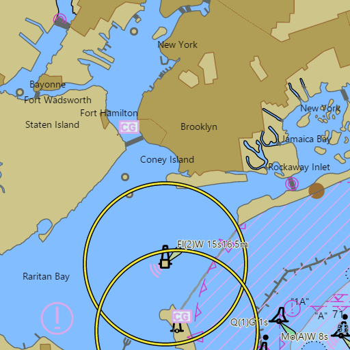
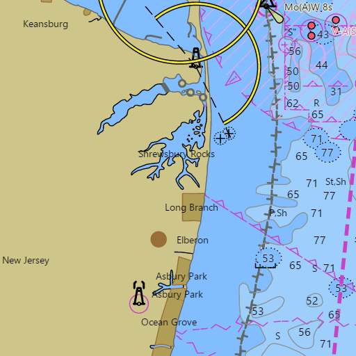
NOAA nautical charts with your GPS position and a wind map for New York Harbor and Raritan Bay in the Wind and Tides app


Weather
View allNo weather data available.
Tides and Currents
View allTide and current data temporarily unavailable.
Conditions
No recent observations.
Marine weather for New York Harbor, Upper New York Bay, the Narrows, Lower New York Bay, Gravesend Bay, Raritan Bay, Sandy Hook Bay, the Navesink River, the Shrewsbury River, Robbins Reef, and Romer Shoal — the Battery, Brooklyn, Coney Island, Great Kills Harbor, and Staten Island, New York; Liberty Landing Marina, Jersey City, Bayonne, Perth Amboy, South Amboy, Keyport, Keansburg, Atlantic Highlands, Highlands, Rumson, and Red Bank, New Jersey. Wind, waves, water temperature, Sandy Hook tides, Sandy Hook Channel currents, New York Harbor (Ambrose) buoy readings, and conditions for sailing, boating, cruising, fishing, kayaking, and paddleboarding.