
Manasquan Inlet and Belmar Marine Weather
Marine Forecast
View allNo forecast available.
Manasquan Inlet and Belmar Nautical Charts
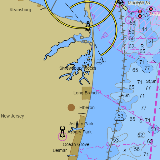
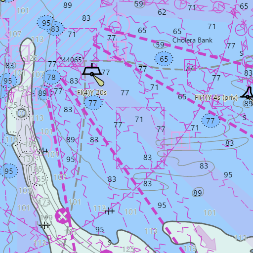
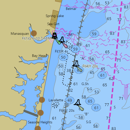
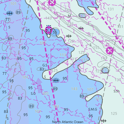
NOAA nautical charts with your GPS position and a wind map for Manasquan Inlet and Belmar in the Wind and Tides app


Weather
View allNo weather data available.
Tides and Currents
View allTide and current data temporarily unavailable.
Marine weather for the Monmouth County shore, Shark River Inlet, the Shark River, Manasquan Inlet, the Manasquan River, Shrewsbury Rocks, the Sea Girt Reef, and the Shark River Reef — Sea Bright, Monmouth Beach, Long Branch, Asbury Park, Ocean Grove, Bradley Beach, Avon-by-the-Sea, Belmar, Belmar Marina, Spring Lake, Sea Girt, Manasquan, and Brielle, plus Point Pleasant Beach, New Jersey. The Sandy Hook to Manasquan Inlet marine forecast, Belmar and Shark River Inlet tides, the Manasquan Inlet tide chart, and Manasquan River tides. Wind, tides, and conditions for sailing, boating, party boat and charter fishing, whale watching, kayaking, and paddleboarding.