
Kaneohe Bay and North Shore Marine Weather
Marine Forecast
View allSMALL CRAFT ADVISORY IN EFFECT THROUGH WEDNESDAY AFTERNOON
TODAY East northeast winds 20 to 25 knots. Seas to 9 feet. Wave Detail: East northeast 7 feet at 7 seconds and north northwest 6 feet at 13 seconds. Numerous showers, mainly this morning.TONIGHT East northeast winds 20 to 25 knots. Seas 8 to 9 feet. Wave Detail: East 7 feet at 7 seconds and north northwest 5 feet at 12 seconds. Scattered showers in the evening, then showers likely after midnight.
WEDNESDAY East northeast winds 20 to 25 knots. Seas 8 to 9 feet. Wave Detail: East 7 feet at 7 seconds and north northwest 5 feet at 15 seconds. Scattered showers.
WEDNESDAY NIGHT East northeast winds to 20 knots. Seas 7 to 9 feet. Wave Detail: East northeast 7 feet at 7 seconds and north northwest 6 feet at 19 seconds. Scattered showers.
THURSDAY East winds 20 to 25 knots. Seas 9 to 11 feet. Wave Detail: North northwest 8 feet at 16 seconds and east 7 feet at 7 seconds. Scattered showers.
THURSDAY NIGHT East northeast winds to 20 knots. Seas 9 to 10 feet. Wave Detail: East 7 feet at 7 seconds and north northwest 7 feet at 15 seconds. Scattered showers.
FRIDAY East northeast winds 20 to 25 knots. Seas 8 to 9 feet. Wave Detail: East 6 feet at 6 seconds and north northwest 6 feet at 14 seconds. Scattered showers.
SATURDAY East northeast winds 20 to 25 knots. Seas 9 to 10 feet. Wave Detail: North northwest 8 feet at 13 seconds and east 5 feet at 6 seconds. Scattered showers.
Kaneohe Bay and North Shore Nautical Charts
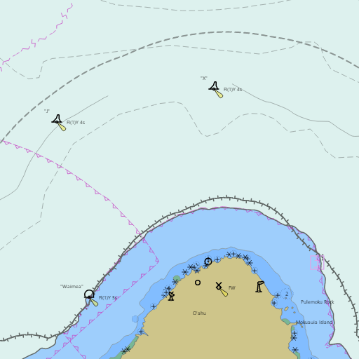
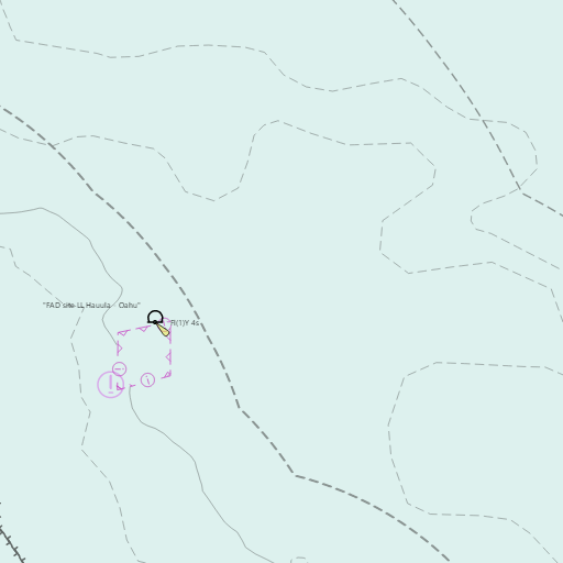
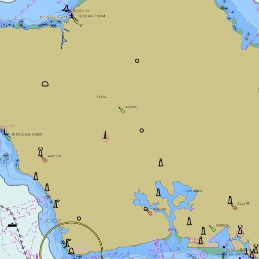
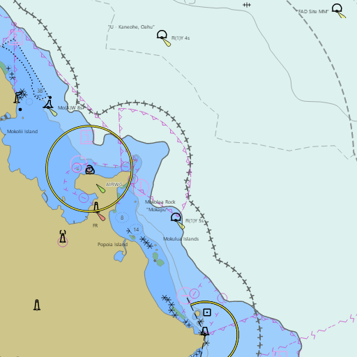
NOAA nautical charts with your GPS position and a wind map for Kaneohe Bay and North Shore in the Wind and Tides app


Weather
View allOvernight
75°F
Scattered Rain Showers
20 mph ENE
Tuesday
80°F
Scattered Rain Showers
21 mph ENE
Tuesday Night
75°F
Scattered Rain Showers
17 to 21 mph ENE
Wednesday
81°F
Scattered Rain Showers
18 mph ENE
Tides
View all| Time (HST) | Event | Height |
|---|---|---|
| Tue, Nov 3 3:46 AM | low | 0.7 ft |
| Tue, Nov 3 10:51 AM | high | 2.2 ft |
| Tue, Nov 3 5:55 PM | low | 0.5 ft |
Marine weather for Windward Oahu, Makapuu Point, Waimanalo Bay, the Mokulua Islands, Kailua Bay, Mokapu Point, Kaneohe Bay, the Kaneohe Sandbar (Ahu o Laka), Kahana Bay, Oahu's North Shore, Waimea Bay, Waialua Bay, and Kaena Point — Waimanalo, Lanikai, Kailua, Kaneohe, Kaneohe Yacht Club, Heeia Kea Small Boat Harbor, Hauula, Laie, Turtle Bay, Sunset Beach, Pupukea, Mokuleia, Haleiwa Small Boat Harbor, and Haleiwa, Hawaii. Kaneohe Bay wind; waves at the Mokapu Point and Waimea buoys; Kaneohe tides for the bay, Kailua, Lanikai, and Waimanalo; low tide times for the sandbar; and conditions for sailing, racing, the Pacific Cup finish, boating, fishing, kayaking, outrigger canoe paddling, windsurfing, kiteboarding, snorkeling, and surfing.