
Kaneohe Bay and North Shore Marine Weather
Marine Forecast
View allSMALL CRAFT ADVISORY IN EFFECT FROM SUNDAY MORNING THROUGH MONDAY AFTERNOON
TONIGHT East winds 15 to 20 knots, easing to 10 to 15 knots after midnight. Seas 5 to 7 feet. Wave Detail: North northwest 5 feet at 19 seconds, east 4 feet at 11 seconds and south 3 feet at 13 seconds. Isolated thunderstorms this evening. Scattered showers.SUNDAY Northeast winds 15 to 20 knots. Seas 7 to 8 feet, building to 9 to 10 feet in the afternoon. Wave Detail: North northwest 8 feet at 16 seconds and east northeast 6 feet at 6 seconds. Scattered showers.
SUNDAY NIGHT Northeast winds 20 to 25 knots. Seas 11 to 13 feet, building to 13 to 14 feet after midnight. Wave Detail: North northwest 10 feet at 15 seconds and east 8 feet at 7 seconds. Scattered showers.
MONDAY East northeast winds 25 to 30 knots. Seas 13 to 14 feet. Wave Detail: North northwest 10 feet at 15 seconds and east 9 feet at 8 seconds. Isolated showers in the morning.
MONDAY NIGHT East northeast winds to 25 knots. Seas 12 to 13 feet, subsiding to 11 feet after midnight. Wave Detail: East 9 feet at 8 seconds and north northwest 8 feet at 14 seconds. Isolated showers.
TUESDAY East northeast winds to 20 knots. Seas 9 to 10 feet. Wave Detail: East 7 feet at 7 seconds and north northwest 7 feet at 13 seconds. Isolated showers.
TUESDAY NIGHT East northeast winds to 20 knots. Seas to 9 feet. Wave Detail: East 7 feet at 7 seconds and north northwest 5 feet at 12 seconds. Isolated showers in the evening, then scattered showers after midnight.
WEDNESDAY East northeast winds to 20 knots. Seas 9 to 10 feet. Wave Detail: East 7 feet at 7 seconds and north northwest 6 feet at 20 seconds. Scattered showers.
THURSDAY East northeast winds to 20 knots. Seas 9 to 11 feet. Wave Detail: North northwest 8 feet at 17 seconds and east 7 feet at 8 seconds. Scattered showers in the morning, then isolated showers through the night. Scattered showers after midnight. Winds and seas higher in and near tstms.
Kaneohe Bay and North Shore Nautical Charts
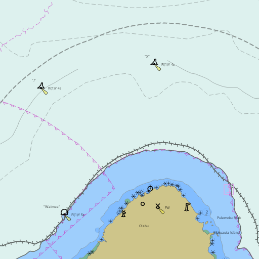
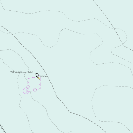
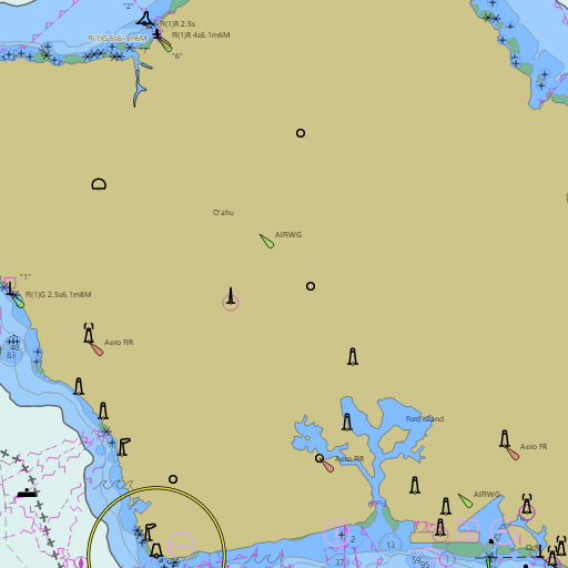
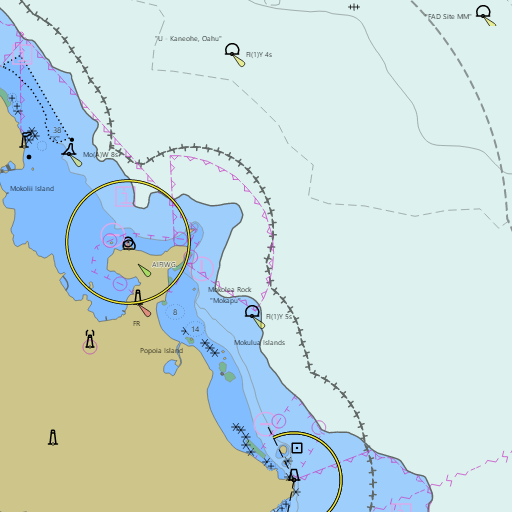
NOAA nautical charts with your GPS position and a wind map for Kaneohe Bay and North Shore in the Wind and Tides app


Weather
View allThis Afternoon
81°F
Scattered Rain Showers
10 mph E
Tonight
75°F
Scattered Rain Showers
8 to 12 mph ENE
Sunday
80°F
Scattered Rain Showers
12 to 18 mph NE
Sunday Night
74°F
Scattered Rain Showers
18 mph NE
Tides
View allTide data temporarily unavailable.
Marine weather for Windward Oahu, Makapuu Point, Waimanalo Bay, the Mokulua Islands, Kailua Bay, Mokapu Point, Kaneohe Bay, the Kaneohe Sandbar (Ahu o Laka), Kahana Bay, Oahu's North Shore, Waimea Bay, Waialua Bay, and Kaena Point — Waimanalo, Lanikai, Kailua, Kaneohe, Kaneohe Yacht Club, Heeia Kea Small Boat Harbor, Hauula, Laie, Turtle Bay, Sunset Beach, Pupukea, Mokuleia, Haleiwa Small Boat Harbor, and Haleiwa, Hawaii. Kaneohe Bay wind; waves at the Mokapu Point and Waimea buoys; Kaneohe tides for the bay, Kailua, Lanikai, and Waimanalo; low tide times for the sandbar; and conditions for sailing, racing, the Pacific Cup finish, boating, fishing, kayaking, outrigger canoe paddling, windsurfing, kiteboarding, snorkeling, and surfing.