
Jacksonville and St. Augustine Marine Weather
Marine Forecast
View allSMALL CRAFT ADVISORY IN EFFECT THROUGH MONDAY EVENING
REST OF TONIGHT East winds around 20 knots. Seas 5 to 8 feet, occasionally to 10 feet. Wave Detail: East 7 feet at 6 seconds. Intracoastal waters choppy. A chance of showers.SUNDAY East winds 20 to 25 knots. Seas 5 to 8 feet, occasionally to 10 feet. Wave Detail: East 8 feet at 7 seconds. Intracoastal waters rough. A slight chance of showers in the morning, then a chance of showers with a slight chance of thunderstorms in the afternoon.
SUNDAY NIGHT East winds 20 to 25 knots. Seas 7 to 8 feet, occasionally to 10 feet. Wave Detail: East 8 feet at 8 seconds. Intracoastal waters rough. A chance of showers with a slight chance of thunderstorms.
MONDAY East winds 15 to 20 knots. Seas 6 to 8 feet, occasionally to 10 feet. Wave Detail: East 8 feet at 8 seconds. Intracoastal waters choppy. Showers likely with a slight chance of thunderstorms.
MONDAY NIGHT East winds 15 to 20 knots. Seas 6 to 8 feet, occasionally to 10 feet. Wave Detail: East 7 feet at 8 seconds. Intracoastal waters choppy. A chance of showers with a slight chance of thunderstorms.
TUESDAY AND TUESDAY NIGHT East winds 15 to 20 knots. Seas 5 to 7 feet, occasionally to 9 feet. Wave Detail: East 7 feet at 8 seconds. Intracoastal waters choppy. A chance of showers and thunderstorms.
WEDNESDAY East winds 10 to 15 knots, diminishing to 5 to 10 knots. Seas 4 to 6 feet, occasionally to 8 feet. Intracoastal waters a moderate chop. A slight chance of thunderstorms in the morning. A chance of showers through the day. A chance of thunderstorms in the afternoon, then a slight chance of showers and thunderstorms through the night.
THURSDAY Northeast winds 5 to 10 knots, becoming southwest. Seas 4 to 5 feet, occasionally to 6 feet. Intracoastal waters light chop. Winds and waves higher in and near thunderstorms.
Jacksonville and St. Augustine Nautical Charts
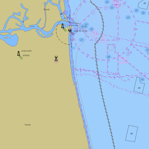
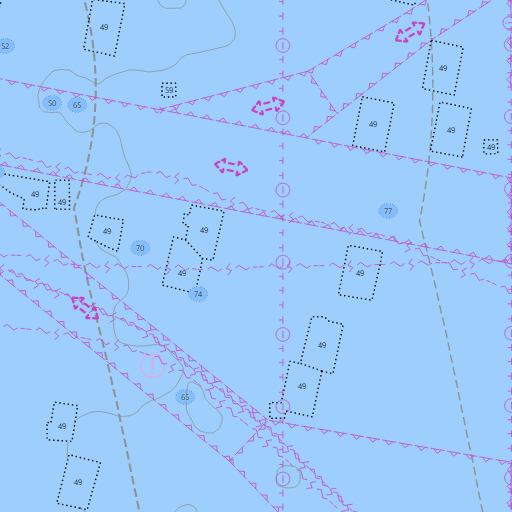
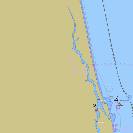
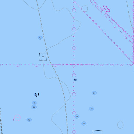
NOAA nautical charts with your GPS position and a wind map for Jacksonville and St. Augustine in the Wind and Tides app


Weather
View allOvernight
73°F
Chance Rain Showers
12 mph E
Sunday
77°F
Chance Rain Showers
10 to 17 mph E
Sunday Night
71°F
Chance Showers And Thunderstorms
15 mph E
Monday
76°F
Rain Showers Likely
14 to 18 mph E
Tides and Currents
View all| Time (EDT) | Event | Height/Speed |
|---|---|---|
| Sun, Nov 1 12:46 AM | flood | 1.5 kts |
| Sun, Nov 1 1:09 AM EST | high | 4.8 ft |
| Sun, Nov 1 2:38 AM EST | slack | slack |
| Sun, Nov 1 5:12 AM EST | ebb | 1.7 kts |
| Sun, Nov 1 6:57 AM EST | low | 0.8 ft |
| Sun, Nov 1 9:30 AM EST | slack | slack |
| Sun, Nov 1 12:10 PM EST | flood | 2.2 kts |
| Sun, Nov 1 1:42 PM EST | high | 5.5 ft |
| Sun, Nov 1 3:18 PM EST | slack | slack |
| Sun, Nov 1 6:00 PM EST | ebb | 1.9 kts |
| Sun, Nov 1 7:55 PM EST | low | 1.0 ft |
| Sun, Nov 1 10:37 PM EST | slack | slack |
Marine weather for Nassau Sound, Fort George Inlet, the Mayport jetties, the St. Johns River, the Ortega River, Doctors Lake, the Intracoastal Waterway, St. Augustine Inlet, the Tolomato River, and the Matanzas River — Jacksonville, Orange Park, Fernandina Beach, Amelia Island, Mayport, Atlantic Beach, Neptune Beach, Jacksonville Beach, Ponte Vedra Beach, and St. Augustine, Florida. The Jacksonville marine forecast; Jacksonville tides and the Mayport tide chart; Fernandina Beach, Jacksonville Beach, Vilano Beach, St. Augustine Beach, and Matanzas Inlet tides; St. Johns River entrance currents; live wind on the river and the coast; waves and water temperature off St. Augustine; and conditions for sailing, boating, fishing, surfing, and kiteboarding.