
Jacksonville and St. Augustine Marine Weather
Marine Forecast
View allNo forecast available.
Jacksonville and St. Augustine Nautical Charts
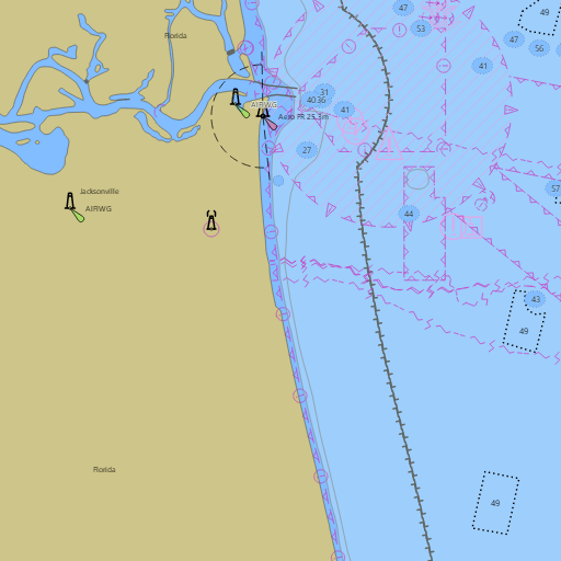
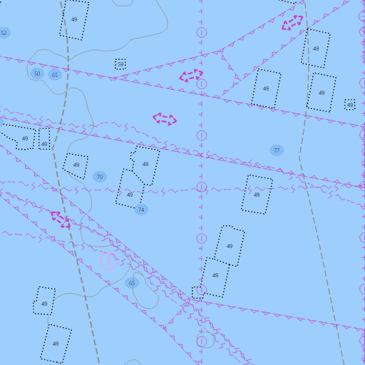
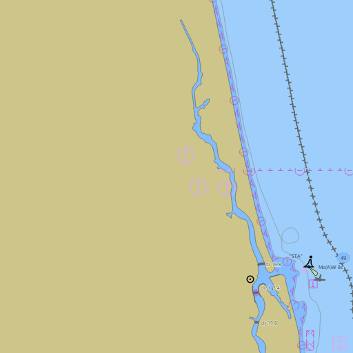
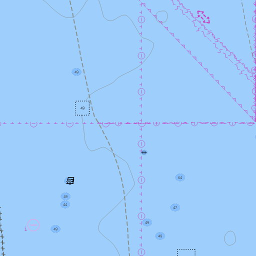
NOAA nautical charts with your GPS position and a wind map for Jacksonville and St. Augustine in the Wind and Tides app


Weather
View allNo weather data available.
Tides and Currents
View allTide and current data temporarily unavailable.
Conditions
No recent observations.
Marine weather for Nassau Sound, Fort George Inlet, the Mayport jetties, the St. Johns River, the Ortega River, Doctors Lake, the Intracoastal Waterway, St. Augustine Inlet, the Tolomato River, and the Matanzas River — Jacksonville, Orange Park, Fernandina Beach, Amelia Island, Mayport, Atlantic Beach, Neptune Beach, Jacksonville Beach, Ponte Vedra Beach, and St. Augustine, Florida. The Jacksonville marine forecast; Jacksonville tides and the Mayport tide chart; Fernandina Beach, Jacksonville Beach, Vilano Beach, St. Augustine Beach, and Matanzas Inlet tides; St. Johns River entrance currents; live wind on the river and the coast; waves and water temperature off St. Augustine; and conditions for sailing, boating, fishing, surfing, and kiteboarding.