
Galveston Bay Marine Weather
Marine Forecast
View allNo forecast available.
Galveston Bay Nautical Charts
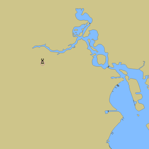
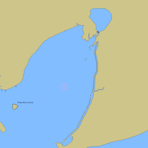
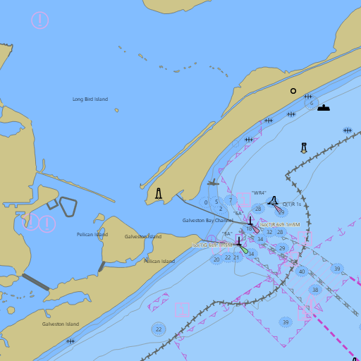
NOAA nautical charts with your GPS position and a wind map for Galveston Bay in the Wind and Tides app


Weather
View allNo weather data available.
Tides and Currents
View allTide and current data temporarily unavailable.
Conditions
No recent observations.
Marine weather for Galveston Bay, Trinity Bay, East Galveston Bay, West Galveston Bay, Bolivar Roads, the Houston Ship Channel, and the Galveston Channel — Galveston, the Galveston Yacht Basin, the Galveston jetties, the Galveston seawall, Offatts Bayou, Tiki Island, Jamaica Beach, San Luis Pass, Texas City, the Texas City Dike, Kemah, Seabrook, Clear Lake Shores, Nassau Bay, League City, Bacliff, San Leon, Shoreacres, La Porte, Baytown, Port Bolivar, and Bolivar Peninsula, Texas. Wind, tides, and conditions for sailing, boating, cruising, fishing, kayaking, paddleboarding, windsurfing, kiteboarding, and wing foiling.