
Cocoa Beach and Port Canaveral Marine Weather
Marine Forecast
View allSMALL CRAFT ADVISORY IN EFFECT THROUGH THURSDAY AFTERNOON
TODAY East winds 20 to 25 knots. Seas 7 to 8 feet, occasionally to 10 feet. Wave Detail: East 8 feet at 7 seconds. Rough on the intracoastal waters. A chance of showers this morning, then showers likely with a slight chance of thunderstorms this afternoon.TONIGHT East winds 20 to 25 knots. Seas 7 to 9 feet, occasionally to 11 feet. Wave Detail: East 9 feet at 8 seconds. Rough on the intracoastal waters. Showers likely. A slight chance of thunderstorms in the evening, then a chance of thunderstorms after midnight.
WEDNESDAY East winds 20 to 25 knots. Seas 7 to 9 feet, occasionally to 11 feet, building to 9 to 11 feet, occasionally to 14 feet in the afternoon. Wave Detail: East 9 feet at 8 seconds, becoming east 11 feet at 9 seconds in the afternoon. Rough on the intracoastal waters. Showers with a chance of thunderstorms.
WEDNESDAY NIGHT East winds 25 to 30 knots. Seas 10 to 12 feet, occasionally to 15 feet. Wave Detail: East 11 feet at 9 seconds. Very rough on the intracoastal waters. Showers with a chance of thunderstorms.
THURSDAY East winds 20 to 25 knots. Seas 9 to 11 feet, occasionally to 14 feet. Wave Detail: East 10 feet at 9 seconds. Rough on the intracoastal waters. Showers with a slight chance of thunderstorms.
THURSDAY NIGHT East winds 20 to 25 knots. Seas 8 to 10 feet, occasionally to 13 feet. Wave Detail: East 10 feet at 9 seconds. Rough on the intracoastal waters. Showers with a chance of thunderstorms.
FRIDAY East winds 15 to 20 knots, increasing to 20 to 25 knots in the afternoon. Seas 8 to 10 feet, occasionally to 13 feet. Rough on the intracoastal waters. Showers with a chance of thunderstorms.
FRIDAY NIGHT East winds 15 to 20 knots. Seas 7 to 9 feet, occasionally to 11 feet. Choppy on the intracoastal waters. Showers likely with a chance of thunderstorms in the evening, then a chance of showers with a slight chance of thunderstorms after midnight.
SATURDAY East winds 10 to 15 knots, becoming northeast in the afternoon. Seas 6 to 8 feet, occasionally to 10 feet. A moderate chop on the intracoastal waters. A chance of showers with a slight chance of thunderstorms.
SATURDAY NIGHT North winds around 10 knots, becoming northwest after midnight. Seas 6 to 8 feet, occasionally to 10 feet. Mostly smooth on the intracoastal waters. A slight chance of showers. Winds and waves higher in and near thunderstorms.
Cocoa Beach and Port Canaveral Nautical Charts
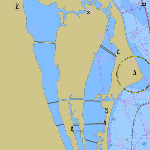
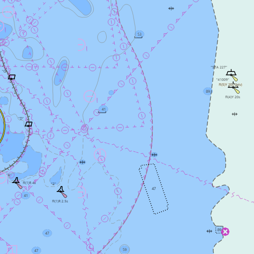
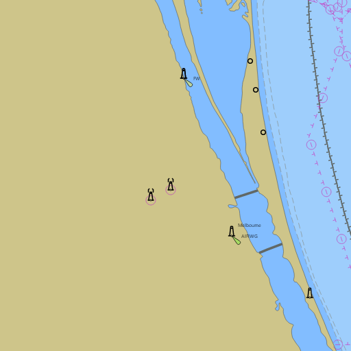
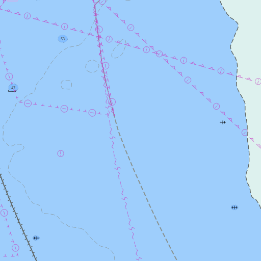
NOAA nautical charts with your GPS position and a wind map for Cocoa Beach and Port Canaveral in the Wind and Tides app


Weather
View allToday
76°F
Chance Rain Showers
15 to 20 mph ENE
Tonight
71°F
Showers And Thunderstorms Likely
20 mph ENE
Wednesday
77°F
Showers And Thunderstorms Likely
15 to 20 mph E
Wednesday Night
72°F
Showers And Thunderstorms
20 to 25 mph E
Tides
View all| Time (EST) | Event | Height |
|---|---|---|
| Tue, Nov 17 12:47 AM | high | 3.0 ft |
| Tue, Nov 17 6:50 AM | low | 1.2 ft |
| Tue, Nov 17 1:09 PM | high | 3.6 ft |
| Tue, Nov 17 7:37 PM | low | 1.0 ft |
Marine weather for Port Canaveral, Jetty Park, the Cocoa Beach Pier, the Banana River, the Indian River Lagoon, the Eau Gallie Causeway, and Sebastian Inlet — Titusville, Cocoa, Rockledge, Merritt Island, Cape Canaveral, Cocoa Beach, Satellite Beach, Indian Harbour Beach, Indialantic, Melbourne Beach, Melbourne, and Palm Bay, Florida. NWS Melbourne's Brevard County marine forecast for the Space Coast; the Cape Canaveral marine forecast and Cocoa Beach wind forecast; the Cocoa Beach tide chart; Cape Canaveral, Satellite Beach, Indialantic, Melbourne Beach, and Sebastian Inlet tides; live wind at Port Canaveral and offshore; Cocoa Beach water temperature and waves at the Cape Canaveral buoys; and conditions for sailing, boating, fishing, and surfing.