
Norfolk and Lower Chesapeake Bay Marine Weather
Marine Forecast
View allNo forecast available.
Norfolk and Lower Chesapeake Bay Nautical Charts
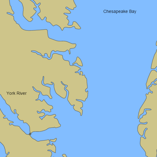
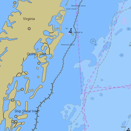
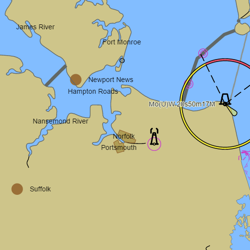
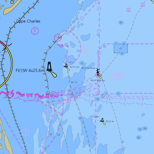
NOAA nautical charts with your GPS position and a wind map for Norfolk and Lower Chesapeake Bay in the Wind and Tides app


Weather
View allNo weather data available.
Tides and Currents
View allTide and current data temporarily unavailable.
Conditions
No recent observations.
Marine weather for the Lower Chesapeake Bay, the Southern Bay, and both Virginia shores — Norfolk, Portsmouth, Hampton, Newport News, Old Point Comfort, Little Creek, Lynnhaven Inlet, Poquoson, Yorktown, Gloucester Point, Mathews, New Point Comfort, Deltaville, Urbanna, Irvington, Reedville, Cape Charles, Kiptopeke, Hampton Roads, Mobjack Bay, the York River, the Rappahannock River, the Piankatank River, the Elizabeth River, the Intracoastal Waterway, Cape Henry, and the Chesapeake Bay Bridge-Tunnel, Virginia. Wind, tides, and conditions for sailing, boating, cruising, fishing, crabbing, kayaking, paddleboarding, windsurfing, kiteboarding, and wing foiling.