
Charleston Harbor Marine Weather
Marine Forecast
View allNo forecast available.
Charleston Harbor Nautical Charts
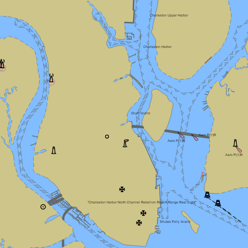
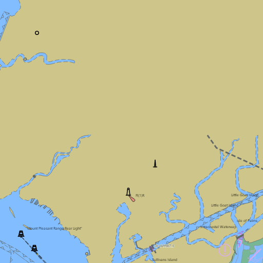
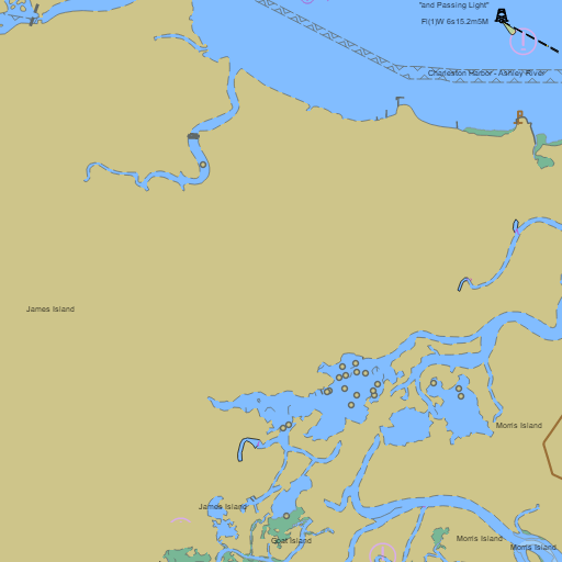
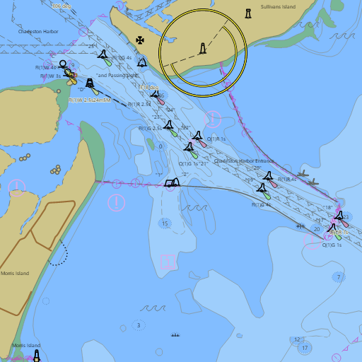
NOAA nautical charts with your GPS position and a wind map for Charleston Harbor in the Wind and Tides app


Weather
View allNo weather data available.
Tides and Currents
View allTide and current data temporarily unavailable.
Conditions
No recent observations.
Marine weather for Charleston Harbor, the Cooper River, the Ashley River, the Wando River, the Stono River, Wappoo Cut, the Intracoastal Waterway, and the Charleston jetties — Charleston, the Battery, Charleston City Marina, Patriots Point, Fort Sumter, the Ravenel Bridge, Mount Pleasant, Shem Creek, Daniel Island, Sullivan's Island, Breach Inlet, Isle of Palms, James Island, Johns Island, Folly Beach, and the Folly River, South Carolina. Wind, tides, and conditions for boating, sailing, fishing, cruising, kayaking, paddleboarding, windsurfing, kiteboarding, and wing foiling.