
Cape Cod Bay and Plymouth Marine Weather
Marine Forecast
View allNo forecast available.
Cape Cod Bay and Plymouth Nautical Charts
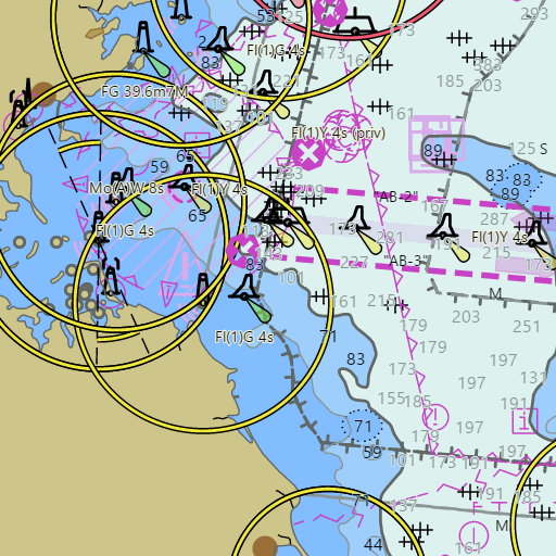
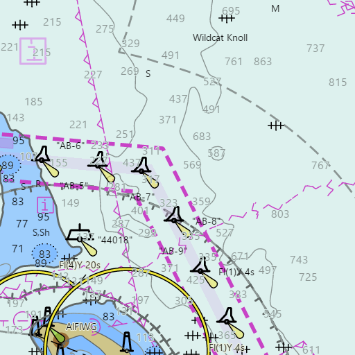
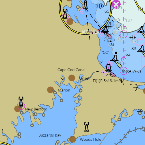
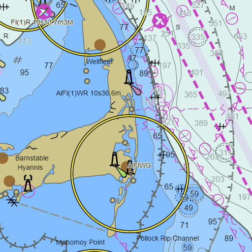
NOAA nautical charts with your GPS position and a wind map for Cape Cod Bay and Plymouth in the Wind and Tides app


Weather
View allNo weather data available.
Tides and Currents
View allTide and current data temporarily unavailable.
Conditions
No recent observations.
Marine weather for Cape Cod Bay and the east end of the Cape Cod Canal — Duxbury, Duxbury Bay, Plymouth, Plymouth Harbor, Manomet Point, the Sagamore Bridge, Sandwich Marina, Barnstable Harbor, Mayflower Beach, Sesuit Harbor, Brewster Flats, Rock Harbor, Orleans, Eastham, Billingsgate Shoal, Wellfleet, Wellfleet Harbor, Provincetown, Provincetown Harbor, Race Point, and Race Point Light, Massachusetts. Wind, tides, currents, and conditions for sailing, boating, cruising, fishing, kayaking, paddleboarding, windsurfing, kiteboarding, and wing foiling.