
Barnegat Bay Marine Weather
Marine Forecast
View all
REST OF TONIGHT NW winds 10 to 15 kt. Seas 2 to 3 ft. Wave Detail: W 2 ft at 5 seconds and E 2 ft at 11 seconds.
WED NW winds 5 to 10 kt, becoming S in the afternoon. Seas 2 to 3 ft. Wave Detail: N 2 ft at 4 seconds and E 1 foot at 10 seconds.
WED NIGHT SE winds 5 to 10 kt, increasing to 10 to 15 kt with gusts up to 20 kt after midnight. Seas around 2 ft. Wave Detail: S 2 ft at 5 seconds and E 1 foot at 10 seconds.
THU SE winds 10 to 15 kt with gusts up to 20 kt, becoming SW in the afternoon. Seas 2 to 3 ft. Wave Detail: SE 3 ft at 4 seconds and E 1 foot at 10 seconds. A chance of rain in the morning, then rain in the afternoon.
THU NIGHT NW winds 10 to 15 kt, increasing to 15 to 20 kt after midnight. Seas 2 to 4 ft. Wave Detail: NW 3 ft at 4 seconds and SE 2 ft at 5 seconds. A chance of rain.
FRI NW winds 20 to 25 kt. Seas 3 to 4 ft. Wave Detail: NW 3 ft at 4 seconds and SE 3 ft at 6 seconds. Rain likely, mainly in the morning.
FRI NIGHT NW winds 20 to 25 kt, diminishing to 15 to 20 kt after midnight. Seas 3 to 4 ft. A chance of rain in the evening.
SAT NW winds 20 to 25 kt. Seas 2 to 4 ft.
SAT NIGHT NW winds 20 to 25 kt, diminishing to 15 to 20 kt after midnight. Seas 2 to 4 ft.
SUN NW winds 15 to 20 kt. Seas 2 to 4 ft.
SUN NIGHT NW winds 10 to 15 kt. Seas 2 to 3 ft.
WED NW winds 5 to 10 kt, becoming S in the afternoon. Seas 2 to 3 ft. Wave Detail: N 2 ft at 4 seconds and E 1 foot at 10 seconds.
WED NIGHT SE winds 5 to 10 kt, increasing to 10 to 15 kt with gusts up to 20 kt after midnight. Seas around 2 ft. Wave Detail: S 2 ft at 5 seconds and E 1 foot at 10 seconds.
THU SE winds 10 to 15 kt with gusts up to 20 kt, becoming SW in the afternoon. Seas 2 to 3 ft. Wave Detail: SE 3 ft at 4 seconds and E 1 foot at 10 seconds. A chance of rain in the morning, then rain in the afternoon.
THU NIGHT NW winds 10 to 15 kt, increasing to 15 to 20 kt after midnight. Seas 2 to 4 ft. Wave Detail: NW 3 ft at 4 seconds and SE 2 ft at 5 seconds. A chance of rain.
FRI NW winds 20 to 25 kt. Seas 3 to 4 ft. Wave Detail: NW 3 ft at 4 seconds and SE 3 ft at 6 seconds. Rain likely, mainly in the morning.
FRI NIGHT NW winds 20 to 25 kt, diminishing to 15 to 20 kt after midnight. Seas 3 to 4 ft. A chance of rain in the evening.
SAT NW winds 20 to 25 kt. Seas 2 to 4 ft.
SAT NIGHT NW winds 20 to 25 kt, diminishing to 15 to 20 kt after midnight. Seas 2 to 4 ft.
SUN NW winds 15 to 20 kt. Seas 2 to 4 ft.
SUN NIGHT NW winds 10 to 15 kt. Seas 2 to 3 ft.
Barnegat Bay Nautical Charts
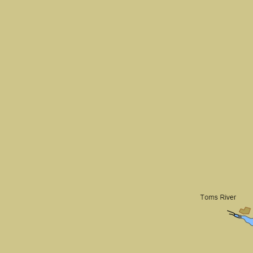
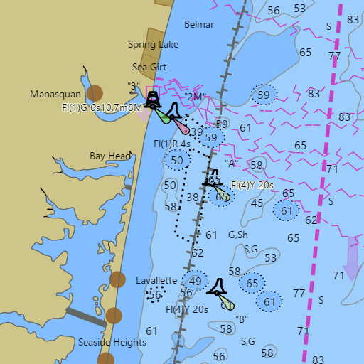
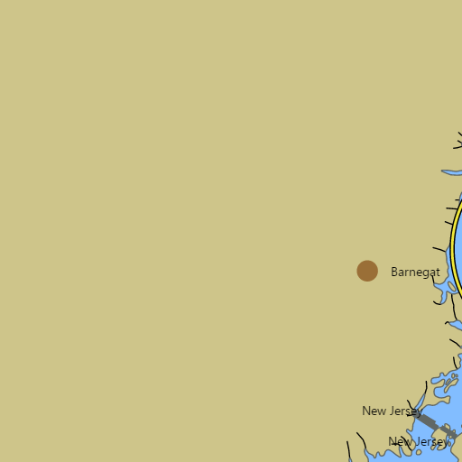
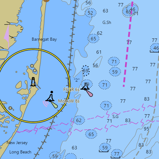
NOAA nautical charts with your GPS position and a wind map for Barnegat Bay in the Wind and Tides app


Weather
View allOvernight
46°F
Mostly Clear
10 mph NW
Veterans Day
61°F
Sunny
5 to 10 mph W
Wednesday Night
54°F
Mostly Cloudy
5 to 15 mph SE
Thursday
63°F
Light Rain
10 to 15 mph SE
Tides and Currents
View all| Time (EST) | Event | Height/Speed |
|---|---|---|
| Wed, Nov 11 2:00 AM | ebb | 3.1 kts |
| Wed, Nov 11 5:53 AM | slack | slack |
| Wed, Nov 11 6:16 AM | low | 0.1 ft |
| Wed, Nov 11 8:05 AM | flood | 3.1 kts |
| Wed, Nov 11 11:33 AM | slack | slack |
| Wed, Nov 11 12:34 PM | high | 1.0 ft |
| Wed, Nov 11 2:26 PM | ebb | 2.7 kts |
| Wed, Nov 11 6:38 PM | slack | slack |
| Wed, Nov 11 7:16 PM | low | 0.3 ft |
| Wed, Nov 11 8:28 PM | flood | 2.1 kts |
| Wed, Nov 11 11:27 PM | slack | slack |
Marine weather for Barnegat Bay, the Point Pleasant Canal, the Metedeconk River, the Toms River, Barnegat Inlet, Manahawkin Bay, Little Egg Harbor, Little Egg Inlet, and the ocean out to the Barnegat buoy — Bay Head, Mantoloking, Lavallette, Seaside Heights, Seaside Park, Island Beach State Park, Tices Shoal, Island Heights, Forked River, Barnegat, Barnegat Light, Long Beach Island, Ship Bottom, Manahawkin, Beach Haven, and Tuckerton, plus Point Pleasant Beach and Manasquan Inlet, New Jersey. Wind forecast, Toms River tides, Barnegat Inlet currents, and ocean conditions for sailing, boating, cruising, fishing, crabbing, kayaking, and paddleboarding.