
Baltimore and Upper Chesapeake Bay Marine Weather
Marine Forecast
View allNo forecast available.
Baltimore and Upper Chesapeake Bay Nautical Charts
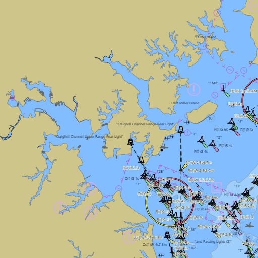
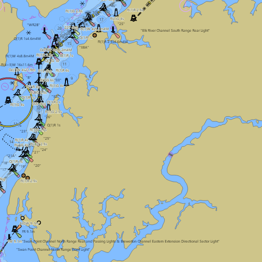
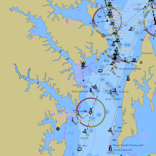
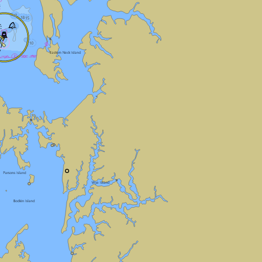
NOAA nautical charts with your GPS position and a wind map for Baltimore and Upper Chesapeake Bay in the Wind and Tides app


Weather
View allNo weather data available.
Tides and Currents
View allTide and current data temporarily unavailable.
Conditions
No recent observations.
Marine weather for the Upper Chesapeake Bay, Baltimore Harbor, the Inner Harbor, the Patapsco River, Middle River, Bodkin Creek, the Magothy River, and the Chesapeake Bay Bridge — Baltimore, Fells Point, Essex, Bowleys Quarters, Pasadena, Gibson Island, Sandy Point State Park, Tolchester Beach, and Rock Hall, Maryland. The Baltimore marine forecast and wind forecast; the Upper Chesapeake Bay marine forecast from Pooles Island to Sandy Point; Baltimore tides, the Baltimore tide chart, and Inner Harbor, Fort McHenry, Patapsco River, and Rock Hall tides; Brewerton Channel Extension currents; live wind and Upper Chesapeake Bay water temperature at Baltimore Harbor and Tolchester Beach; and conditions for sailing, boating, fishing, and crabbing.