
Wilmington and Wrightsville Beach Marine Weather
Marine Forecast
View allNo forecast available.
Wilmington and Wrightsville Beach Nautical Charts
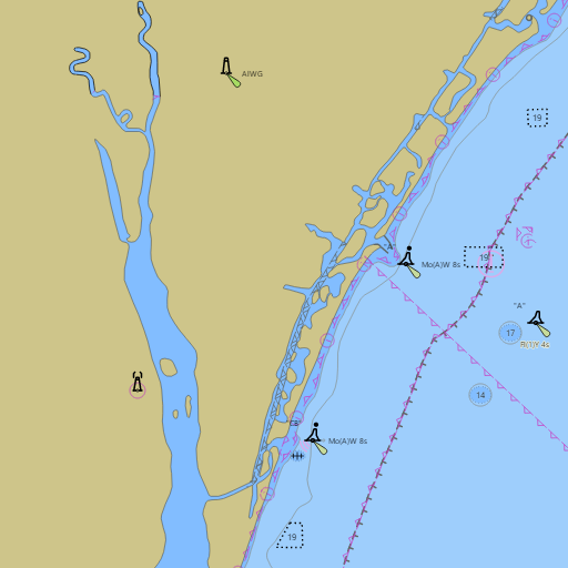
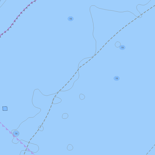
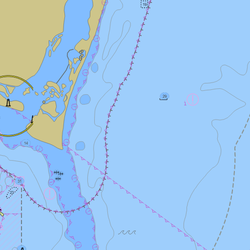
NOAA nautical charts with your GPS position and a wind map for Wilmington and Wrightsville Beach in the Wind and Tides app


Weather
View allNo weather data available.
Tides and Currents
View all| Time (EST) | Event | Height/Speed |
|---|---|---|
| Mon, Nov 9 7:07 PM | high | 4.0 ft |
| Mon, Nov 9 9:14 PM | slack | slack |
Conditions
No recent observations.
Marine weather for the coast from Surf City to Cape Fear, the Cape Fear River, the Intracoastal Waterway, Banks Channel, Masonboro Inlet, Snows Cut, Carolina Beach Inlet, and Frying Pan Shoals — Wilmington, Port City Marina, Wrightsville Beach, Johnnie Mercer's Pier, Figure Eight Island, Topsail Beach, Masonboro Island, Carolina Beach, Kure Beach, Fort Fisher, Bald Head Island, Caswell Beach, Oak Island, and Southport, North Carolina. Wind, the Carolina Beach marine forecast, the Wrightsville Beach tide chart, Wrightsville Beach water temperature, Oak Island tides, and conditions for sailing at the Carolina Yacht Club (Wrightsville Beach) and the Cape Fear Yacht Club, boating, fishing, surfing, kayaking, paddleboarding, and kiteboarding.