
Solomons Island and the Patuxent River Marine Weather
Marine Forecast
View allNo forecast available.
Solomons Island and the Patuxent River Nautical Charts
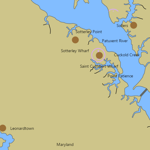
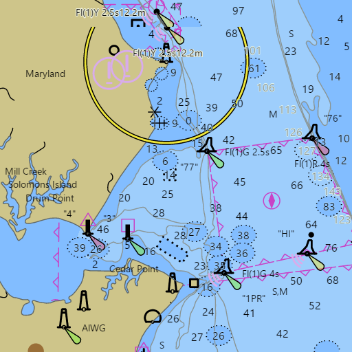
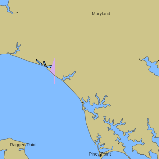
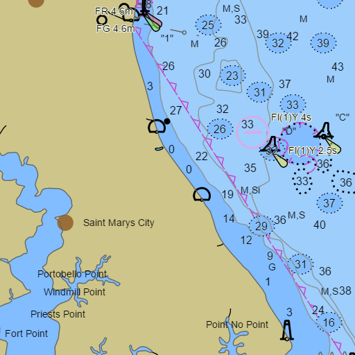
NOAA nautical charts with your GPS position and a wind map for Solomons Island and the Patuxent River in the Wind and Tides app


Weather
View allNo weather data available.
Tides and Currents
View all| Time (EST) | Event | Height/Speed |
|---|---|---|
| Thu, Nov 5 7:11 PM | slack | slack |
| Thu, Nov 5 9:04 PM | flood | 0.3 kts |
| Thu, Nov 5 11:14 PM | slack | slack |
| Thu, Nov 5 11:23 PM | high | 1.4 ft |
Marine weather for the Patuxent River, Solomons Harbor, St. Leonard Creek, and the Chesapeake Bay from Calvert Cliffs State Park and Cove Point to Cedar Point — Solomons Island, Calvert Marina, Spring Cove Marina, Zahniser's, Solomons Yachting Center, the Solomons Island Yacht Club, the Southern Maryland Sailing Association, Sail Solomons, Drum Point, Lusby, and Broomes Island, Maryland. Solomons tides, the Solomons Island tide chart, and the Patuxent River tide chart; the Solomons Island marine forecast and the Chesapeake Bay marine forecast from Drum Point to Smith Point; live wind at Cove Point and Patuxent River water temperature at Solomons; and conditions for sailing, Patuxent Pursuit racing, cruising, boating, charter fishing, and crabbing.