
Monterey Bay Marine Weather
Marine Forecast
View all
TODAY E wind around 5 kt, veering to S around 5 kt late. Seas 3 to 5 ft. Wave Detail: NW 4 ft at 11 seconds and S 2 ft at 14 seconds. A chance of showers this morning. Showers likely this afternoon. A slight chance of tstms late.
TONIGHT N wind 5 to 10 kt, veering to E after midnight. Seas 3 to 4 ft. Wave Detail: NW 3 ft at 10 seconds and S 2 ft at 14 seconds. A slight chance of tstms in the evening. Showers likely.
THU SE wind around 5 kt, veering to W in the afternoon. Seas around 3 ft. Wave Detail: NW 3 ft at 10 seconds. A chance of showers in the morning, then showers likely in the afternoon.
THU NIGHT NW wind 10 to 15 kt. Seas around 3 ft. Wave Detail: NW 3 ft at 6 seconds. A chance of showers in the evening.
FRI N wind 5 to 10 kt, becoming NW in the afternoon. Seas 3 to 4 ft. Wave Detail: NW 3 ft at 9 seconds and SW 3 ft at 15 seconds.
FRI NIGHT NW wind 10 to 15 kt, becoming NE 5 to 10 kt after midnight. Seas 3 to 5 ft. Wave Detail: NW 4 ft at 10 seconds and SW 3 ft at 16 seconds.
SAT NE wind 5 to 10 kt, becoming NW in the afternoon. Seas 3 to 4 ft. Wave Detail: W 3 ft at 9 seconds.
SAT NIGHT NW wind 5 to 10 kt, veering to NE after midnight. Seas 3 to 4 ft. Wave Detail: W 3 ft at 7 seconds and SW 2 ft at 15 seconds.
SUN NE wind 5 to 10 kt, becoming NW in the afternoon. Seas around 3 ft.
SUN NIGHT W wind 5 to 10 kt, veering to NE after midnight. Seas around 3 ft in the evening, then around 2 ft or less. Winds and seas higher in and near tstms. Locally lower winds and seas across sheltered portions of the bay.
Monterey Bay Nautical Charts
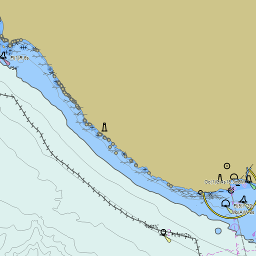
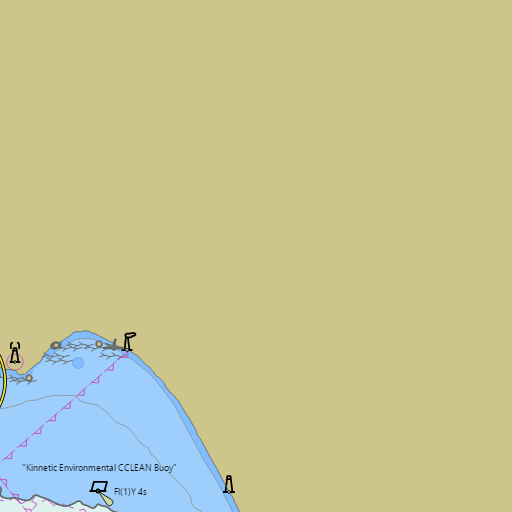
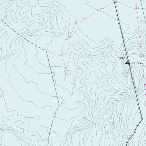
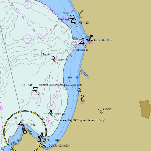
NOAA nautical charts with your GPS position and a wind map for Monterey Bay in the Wind and Tides app


Weather
View allOvernight
55°F
Cloudy
6 mph SSE
Wednesday
63°F
Showers And Thunderstorms Likely
6 mph E
Wednesday Night
55°F
Showers And Thunderstorms
5 mph ENE
Thursday
61°F
Rain Showers Likely
3 to 10 mph W
Tides
View all| Time | Event | Height |
|---|---|---|
| Wed, Oct 21 1:39 AM | low | 0.6 ft |
| Wed, Oct 21 8:25 AM | high | 4.4 ft |
| Wed, Oct 21 2:07 PM | low | 2.2 ft |
| Wed, Oct 21 7:45 PM | high | 4.4 ft |