
Newport and Narragansett Bay Marine Weather
Marine Forecast
View allSTORM WARNING IN EFFECT UNTIL 10 AM EDT THIS MORNING
REST OF TONIGHT NE winds 25 to 30 kt with gusts up to 40 kt. Waves around 3 ft, except 4 to 6 ft at the bay entrance. Showers.SUN E winds 20 to 25 kt, diminishing to 15 to 20 kt in the afternoon. Gusts up to 30 kt. Waves around 3 ft, except 4 to 6 ft at the bay entrance. Showers likely.
SUN NIGHT NE winds 10 to 15 kt with gusts up to 25 kt. Waves 2 to 3 ft. Showers.
MON NE winds 10 to 15 kt. Gusts up to 20 kt in the afternoon. Waves 2 to 3 ft. Showers.
MON NIGHT E winds 10 to 15 kt, becoming SW after midnight. Waves 2 to 3 ft. Showers likely, mainly in the evening.
TUE AND TUE NIGHT NW winds 5 to 10 kt. Waves 2 to 3 ft.
WED THROUGH THU NIGHT SW winds 5 to 10 kt. Waves around 2 ft. Seas are reported as significant wave height, which is the average of the highest third of the waves. Individual wave heights may be more than twice the significant wave height.
Newport and Narragansett Bay Nautical Charts
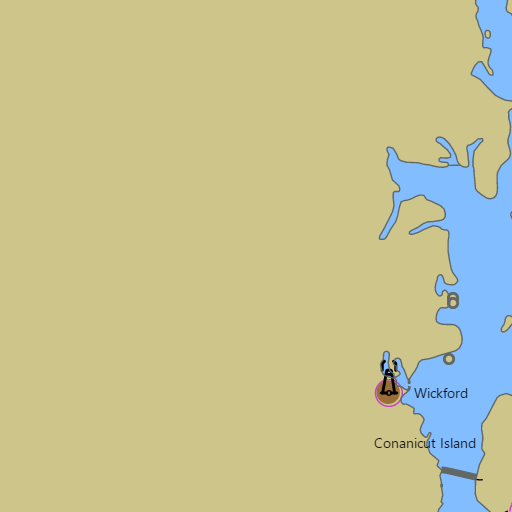
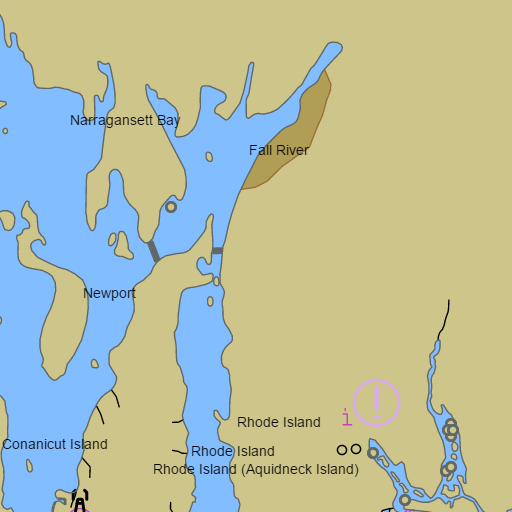
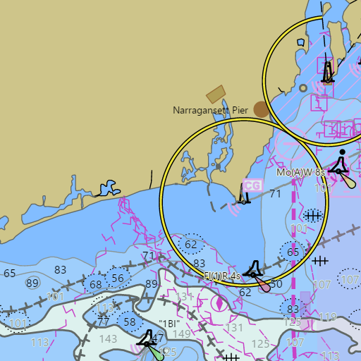
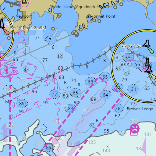
NOAA nautical charts for Newport and Narragansett Bay in the Wind and Tides app


Weather
View allOvernight
59°F
Rain Showers
28 mph NE
Sunday
68°F
Showers And Thunderstorms Likely
16 to 23 mph E
Sunday Night
62°F
Showers And Thunderstorms
13 to 16 mph NE
Monday
66°F
Rain Showers
14 mph NE
Tides and Currents
View all| Time | Event | Height/Speed |
|---|---|---|
| Sun, Sep 27 1:53 AM | low | -0.2 ft |
| Sun, Sep 27 2:19 AM | slack | slack |
| Sun, Sep 27 6:47 AM | flood | 0.9 kts |
| Sun, Sep 27 8:38 AM | high | 4.3 ft |
| Sun, Sep 27 8:51 AM | slack | slack |
| Sun, Sep 27 11:32 AM | ebb | 1.0 kts |
| Sun, Sep 27 2:32 PM | low | -0.1 ft |
| Sun, Sep 27 2:38 PM | slack | slack |
| Sun, Sep 27 7:03 PM | flood | 0.9 kts |
| Sun, Sep 27 8:59 PM | high | 4.0 ft |
| Sun, Sep 27 9:08 PM | slack | slack |
| Sun, Sep 27 11:50 PM | ebb | 1.0 kts |