
Key West and Lower Florida Keys Marine Weather
Marine Forecast
View allNo forecast available.
Key West and Lower Florida Keys Nautical Charts
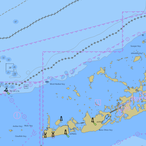
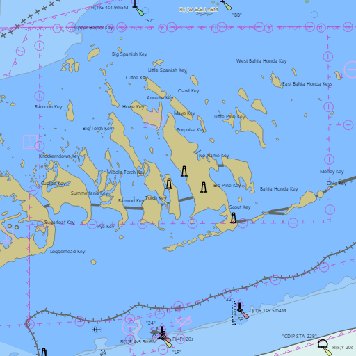
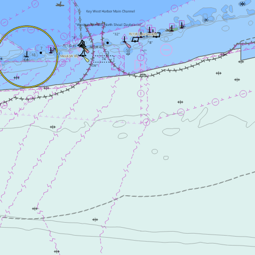
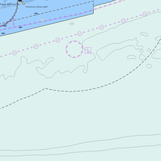
NOAA nautical charts with your GPS position and a wind map for Key West and Lower Florida Keys in the Wind and Tides app


Weather
View allNo weather data available.
Tides and Currents
View all| Time (EST) | Event | Height/Speed |
|---|---|---|
| Sun, Nov 8 8:48 PM | high | 2.3 ft |
| Sun, Nov 8 9:26 PM | slack | slack |
Conditions
No recent observations.
Marine weather for Hawk Channel, the reef, Key West Harbor, and the backcountry out to the Marquesas Keys — Big Pine Key, Bahia Honda, Looe Key, Ramrod Key, Summerland Key, Cudjoe Key, Sugarloaf Key, Boca Chica Key, Stock Island, Garrison Bight, the Key West Community Sailing Center, Fleming Key, Key West Bight, Fort Zachary Taylor, Sand Key Lighthouse, and Key West, Florida. Wind, waves, Key West tides and the Key West tide chart, Key West water temperature, the Lower Keys marine forecast for Hawk Channel, the Big Pine Key marine forecast, the Key West weather forecast, the Key West wind forecast, and conditions for sailing, the Southernmost Regatta, boating, reef and backcountry fishing, snorkeling, kayaking, paddleboarding, and kiteboarding.