
Monterey Bay Marine Weather
Marine Forecast
View all
TODAY NW wind around 5 kt, backing to W 10 to 15 kt this afternoon. Seas 3 to 4 ft. Wave Detail: NW 4 ft at 8 seconds. Patchy dense fog this morning. Hazy.
TONIGHT W wind 10 to 15 kt, veering to NW after midnight. Seas 4 to 5 ft. Wave Detail: NW 5 ft at 9 seconds. Hazy.
SUN W wind 5 to 10 kt. Seas 4 to 5 ft. Wave Detail: NW 5 ft at 11 seconds. Hazy with patchy fog in the morning.
SUN NIGHT W wind 10 to 15 kt, becoming NW around 5 kt after midnight. Seas 4 to 5 ft. Wave Detail: NW 5 ft at 10 seconds.
MON NW wind around 5 kt, backing to W in the afternoon. Seas 3 to 5 ft. Wave Detail: NW 5 ft at 11 seconds.
MON NIGHT W wind 5 to 10 kt, easing to around 5 kt after midnight. Seas 3 to 4 ft. Wave Detail: NW 4 ft at 10 seconds. Patchy fog.
TUE Light and variable winds, becoming SW 5 to 10 kt in the afternoon. Seas 3 to 4 ft. Wave Detail: NW 4 ft at 10 seconds. Patchy fog in the morning.
TUE NIGHT W wind 5 to 10 kt, becoming SW after midnight. Seas around 3 ft. Wave Detail: NW 3 ft at 9 seconds. Patchy fog.
WED SW wind around 5 kt, veering to W in the afternoon. Seas around 3 ft. Wave Detail: NW 3 ft at 8 seconds. Patchy fog in the morning.
WED NIGHT W wind 5 to 10 kt, easing to around 5 kt after midnight. Seas around 3 ft. Wave Detail: NW 2 ft at 9 seconds. Patchy fog after midnight. Locally lower winds and seas across sheltered portions of the bay.
TONIGHT W wind 10 to 15 kt, veering to NW after midnight. Seas 4 to 5 ft. Wave Detail: NW 5 ft at 9 seconds. Hazy.
SUN W wind 5 to 10 kt. Seas 4 to 5 ft. Wave Detail: NW 5 ft at 11 seconds. Hazy with patchy fog in the morning.
SUN NIGHT W wind 10 to 15 kt, becoming NW around 5 kt after midnight. Seas 4 to 5 ft. Wave Detail: NW 5 ft at 10 seconds.
MON NW wind around 5 kt, backing to W in the afternoon. Seas 3 to 5 ft. Wave Detail: NW 5 ft at 11 seconds.
MON NIGHT W wind 5 to 10 kt, easing to around 5 kt after midnight. Seas 3 to 4 ft. Wave Detail: NW 4 ft at 10 seconds. Patchy fog.
TUE Light and variable winds, becoming SW 5 to 10 kt in the afternoon. Seas 3 to 4 ft. Wave Detail: NW 4 ft at 10 seconds. Patchy fog in the morning.
TUE NIGHT W wind 5 to 10 kt, becoming SW after midnight. Seas around 3 ft. Wave Detail: NW 3 ft at 9 seconds. Patchy fog.
WED SW wind around 5 kt, veering to W in the afternoon. Seas around 3 ft. Wave Detail: NW 3 ft at 8 seconds. Patchy fog in the morning.
WED NIGHT W wind 5 to 10 kt, easing to around 5 kt after midnight. Seas around 3 ft. Wave Detail: NW 2 ft at 9 seconds. Patchy fog after midnight. Locally lower winds and seas across sheltered portions of the bay.
Monterey Bay Nautical Charts
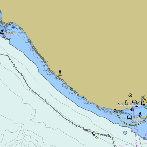
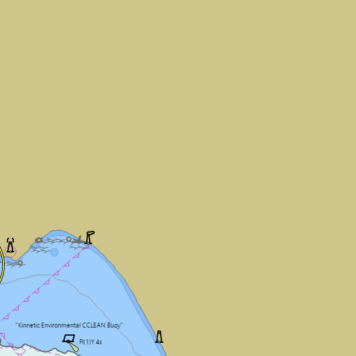
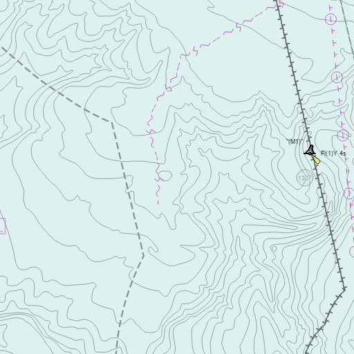
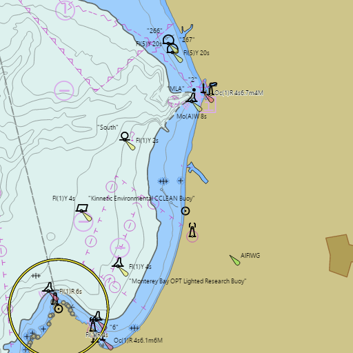
NOAA nautical charts for Monterey Bay in the Wind and Tides app


Weather
View allOvernight
56°F
Haze
6 to 10 mph WNW
Saturday
68°F
Haze then Mostly Sunny
6 to 13 mph WNW
Saturday Night
58°F
Haze
13 mph W
Sunday
67°F
Haze then Mostly Sunny
8 to 12 mph WNW
Tides & Currents
View all| Time | Event | Height/Speed |
|---|---|---|
| Sat, Aug 1 12:02 AM | high | 5.3 ft |
| Sat, Aug 1 7:04 AM | low | 0.0 ft |
| Sat, Aug 1 1:41 PM | high | 4.4 ft |
| Sat, Aug 1 7:02 PM | low | 2.3 ft |