Monterey Bay Marine Weather
Marine Forecast
View all
TODAY W wind 5 to 10 kt, rising to 10 to 15 kt this afternoon. Seas around 3 ft. Wave Detail: W 3 ft at 7 seconds. A slight chance of rain and drizzle this morning, then a slight chance of very light drizzle this afternoon.
TONIGHT W wind 10 to 15 kt, becoming NW around 5 kt after midnight. Seas around 3 ft. Wave Detail: W 3 ft at 7 seconds. A slight chance of very light drizzle after midnight.
MON N wind around 5 kt, backing to W 10 to 15 kt in the afternoon. Seas around 3 ft. Wave Detail: W 2 ft at 6 seconds. A slight chance of very light drizzle in the morning.
MON NIGHT NW wind 10 to 15 kt, becoming N 5 to 10 kt after midnight. Seas around 3 ft. Wave Detail: NW 3 ft at 12 seconds and S 2 ft at 14 seconds.
TUE N wind around 5 kt, backing to W in the afternoon. Seas around 3 ft. Wave Detail: W 2 ft at 7 seconds.
TUE NIGHT NW wind 10 to 15 kt, becoming N 5 to 10 kt after midnight. Seas around 3 ft. Wave Detail: W 3 ft at 8 seconds.
WED N wind around 5 kt, backing to W 10 to 15 kt in the afternoon. Seas around 3 ft. Wave Detail: W 3 ft at 8 seconds.
WED NIGHT W wind 10 to 15 kt, becoming NW 5 to 10 kt after midnight. Seas 3 to 4 ft. Wave Detail: NW 4 ft at 10 seconds.
THU NW wind around 5 kt, backing to W 10 to 15 kt in the afternoon. Seas 3 to 4 ft. Wave Detail: W 4 ft at 10 seconds.
THU NIGHT W wind 15 to 20 kt, becoming NW 5 to 10 kt after midnight. Seas 3 to 4 ft. Wave Detail: W 4 ft at 10 seconds. Locally lower winds and seas across sheltered portions of the bay.
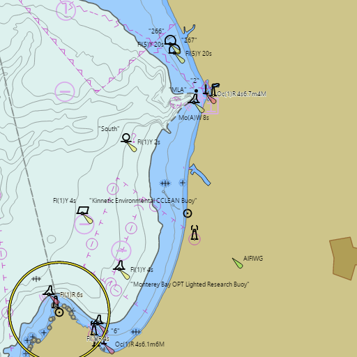
Nautical Charts
View at NOAA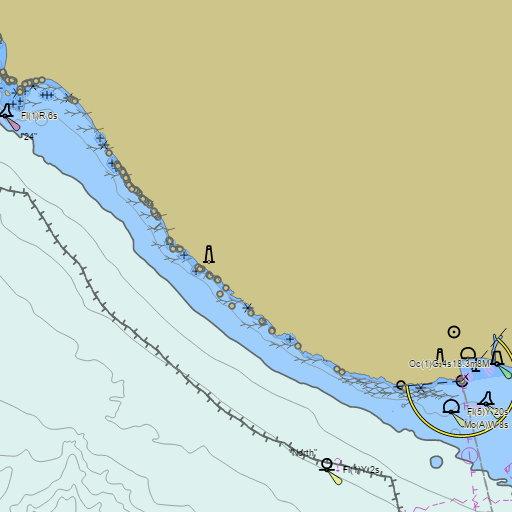

Weather
View allOvernight
51°F
Slight Chance Light Rain
6 mph SW
Sunday
60°F
Chance Light Rain then Slight Chance Drizzle
6 to 10 mph WSW
Sunday Night
50°F
Mostly Cloudy then Slight Chance Drizzle
2 to 9 mph W
Monday
61°F
Slight Chance Drizzle then Mostly Sunny
2 to 12 mph WNW
Tides & Currents
View all| Time | Event | Height/Speed |
|---|---|---|
| Sun, Apr 26 1:42 AM | low | 1.8 ft |
| Sun, Apr 26 7:13 AM | high | 4.1 ft |
| Sun, Apr 26 1:52 PM | low | 0.0 ft |
| Sun, Apr 26 8:32 PM | high | 4.6 ft |
Conditions
No recent observations.